Davlekanovo night lights from space
Night Light of Davlekanovo (Bashkortostan Republic) from space (Russia) Src. Average luminocity for 10x10km area is 12.0397% and for 50x50km: 0.7034%.
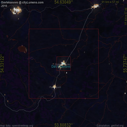
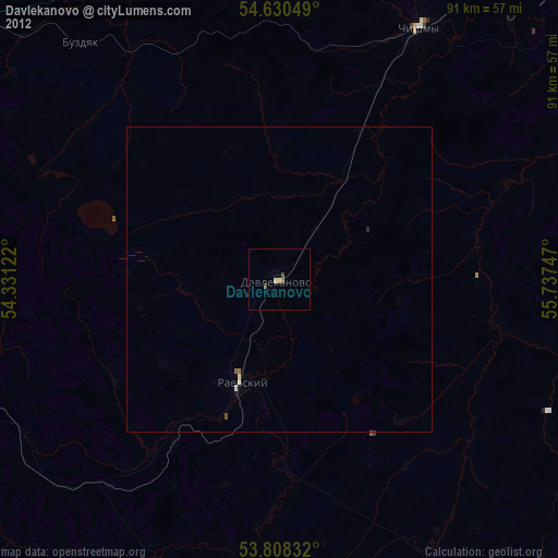
Analysis of Davlekanovo night lights 2016
Square area 10x10 km:
 1.46%
1.46%90-99
2.12%80-89
0.93%70-79
0.79%60-69
2.51%50-59
1.19%40-49
2.51%30-39
2.25%20-29
0%10-19
1.59%0-9
84.66%Square area 50x50 km:
0.08%90-99
0.12%80-89
0.1%70-79
0.04%60-69
0.11%50-59
0.08%40-49
0.13%30-39
0.13%20-29
0.05%10-19
0.09%0-9
99.09%Clear (daylight) street map image can be seen on geolist.org.
Map coordinates:
54° 37' 49.8" North, 54° 19' 52.4" East
54° 13' 17.2" North, 55° 2' 3.6" East
53° 48' 30" North, 55° 44' 14.9" East
Some cities around Davlekanovo sort by population:
• Belebey
60.9 km =37.8 mi,  258°
258°
• Chishmy
45.3 km =28.1 mi,  29°
29°
• Rayevskiy
18.2 km =11.3 mi,  198°
198°
• Kandry
70.7 km =43.9 mi,  302°
302°
• Tolbazy
59.5 km =37 mi,  111°
111°
• Buzdyak
51 km =31.7 mi,  322°
322°
• Karmaskaly
76.4 km =47.5 mi,  77°
77°
• Kirgiz-Miyaki
67.3 km =41.8 mi,  193°
193°
567006 (p: 23,952)
Sources (retrieved 2019-11-25):
» Earth at Night: Flat Maps 2012, 2016