Mirnyy night lights from space
Night Light of Mirnyy (Arkhangelskaya) from space (Russia) Src. Average luminocity for 10x10km area is 0% and for 50x50km: 0.0366%.
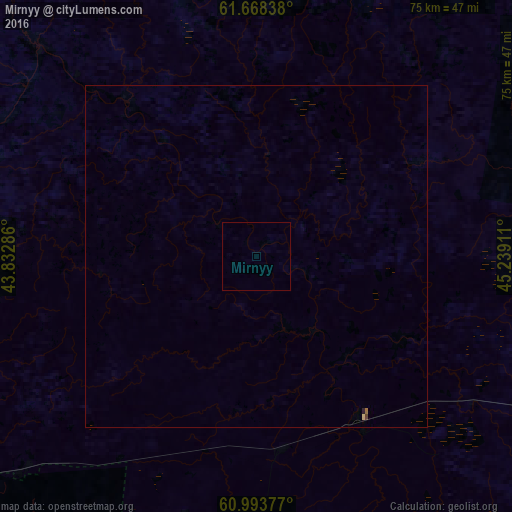
Analysis of Mirnyy night lights 2016
Square area 10x10 km:
 0%
0%90-99
0%80-89
0%70-79
0%60-69
0%50-59
0%40-49
0%30-39
0%20-29
0%10-19
0%0-9
100%Square area 50x50 km:
0%90-99
0%80-89
0.02%70-79
0%60-69
0.02%50-59
0%40-49
0.02%30-39
0%20-29
0.02%10-19
0%0-9
99.93%Clear (daylight) street map image can be seen on geolist.org.
Map coordinates:
61° 40' 6.2" North, 43° 49' 58.3" East
61° 19' 58.4" North, 44° 32' 9.5" East
60° 59' 37.6" North, 45° 14' 20.8" East
Some cities around Mirnyy sort by population:
• Kotlas
113.2 km =70.3 mi,  94°
94°
• Velikiy Ustyug
114.8 km =71.3 mi,  123°
123°
• Vel’sk
133.8 km =83.1 mi,  257°
257°
• Vychegodskiy
126.5 km =78.6 mi, 94°
• Krasavino
112.3 km =69.8 mi,  111°
111°
• Kuloy
114.6 km =71.2 mi,  252°
252°
• Shenkursk
122.1 km =75.9 mi,  314°
314°
• Tarnogskiy Gorodok
106.2 km =66 mi,  209°
209°
526346 (p: 29,341)
Sources (retrieved 2019-11-25):
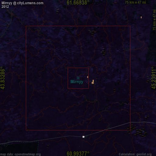
» Earth at Night: Flat Maps 2012, 2016