Velikiy Ustyug night lights from space
Night Light of Velikiy Ustyug (Vologda) from space (Russia) Src. Average luminocity for 10x10km area is 6.0097% and for 50x50km: 0.2452%.
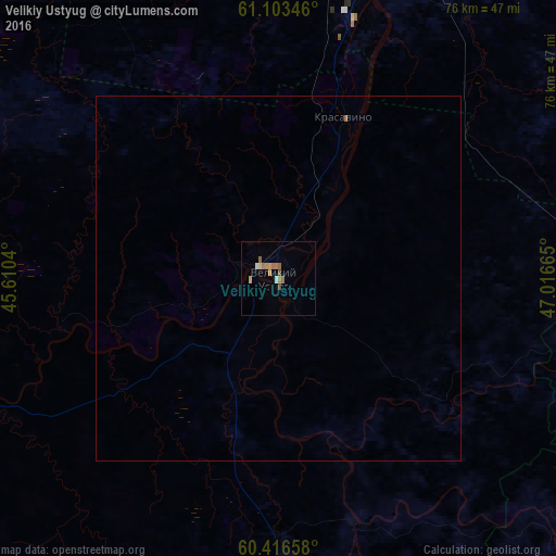
Analysis of Velikiy Ustyug night lights 2016
Square area 10x10 km:
 0.54%
0.54%90-99
0.54%80-89
0.32%70-79
1.62%60-69
1.73%50-59
1.3%40-49
0.87%30-39
0%20-29
0%10-19
0%0-9
93.07%Square area 50x50 km:
0.02%90-99
0.02%80-89
0.01%70-79
0.06%60-69
0.08%50-59
0.05%40-49
0.03%30-39
0%20-29
0%10-19
0%0-9
99.72%Clear (daylight) street map image can be seen on geolist.org.
Map coordinates:
61° 6' 12.5" North, 45° 36' 37.4" East
60° 45' 42.7" North, 46° 18' 48.7" East
60° 24' 59.7" North, 47° 0' 59.9" East
Some cities around Velikiy Ustyug sort by population:
• Kotlas
58 km =36 mi,  18°
18°
• Koryazhma
76.8 km =47.7 mi,  36°
36°
• Mirnyy
114.8 km =71.3 mi,  303°
303°
• Vychegodskiy
62.5 km =38.8 mi,  30°
30°
• Luza
53.1 km =33 mi,  105°
105°
• Krasavino
24.1 km =15 mi, 22°
• Kichmengskiy Gorodok
91.5 km =56.9 mi,  198°
198°
• Dem’yanovo
62.1 km =38.6 mi,  137°
137°
476062 (p: 32,642)
Sources (retrieved 2019-11-25):
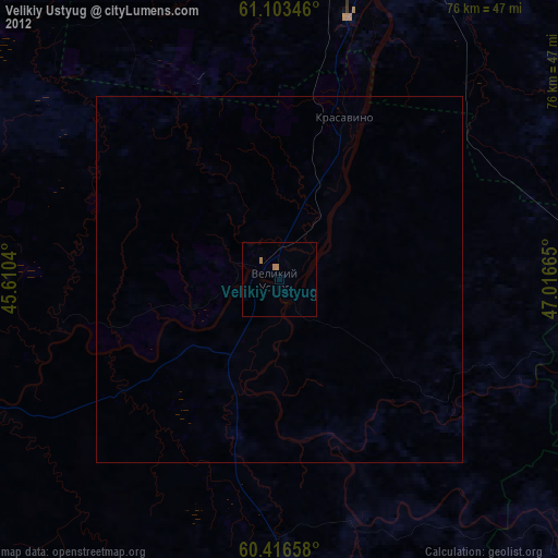
» Earth at Night: Flat Maps 2012, 2016