Staraya Stanitsa night lights from space
Night Light of Staraya Stanitsa (Rostov) from space (Russia) Src. Average luminocity for 10x10km area is 32.0099% and for 50x50km: 3.6592%.
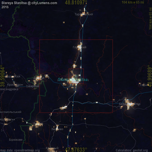
Analysis of Staraya Stanitsa night lights 2016
Square area 10x10 km:
 7.24%
7.24%90-99
6.53%80-89
3.13%70-79
2.7%60-69
2.7%50-59
3.84%40-49
2.84%30-39
4.97%20-29
5.11%10-19
27.84%0-9
33.1%Square area 50x50 km:
0.58%90-99
0.58%80-89
0.31%70-79
0.33%60-69
0.31%50-59
0.5%40-49
0.39%30-39
0.65%20-29
0.69%10-19
2.66%0-9
92.99%Clear (daylight) street map image can be seen on geolist.org.
Map coordinates:
48° 48' 39.5" North, 39° 35' 26.3" East
48° 20' 44.8" North, 40° 17' 37.5" East
47° 52' 34.8" North, 40° 59' 48.8" East
Some cities around Staraya Stanitsa sort by population:
• Kamensk-Shakhtinskiy
4 km =2.5 mi,  219°
219°
• Donetsk
24.7 km =15.3 mi,  268°
268°
• Belaya Kalitva
39.8 km =24.7 mi,  116°
116°
• Zverevo
38.3 km =23.8 mi,  199°
199°
• Likhovskoy
23.2 km =14.4 mi, 201°
• Glubokiy
20.4 km =12.7 mi,  7°
7°
• Masalovka
6.9 km =4.3 mi,  339°
339°
• Koksovyy
30.7 km =19.1 mi, 122°
489062 (p: 8,284)
Sources (retrieved 2019-11-25):
» Earth at Night: Flat Maps 2012, 2016