Zverevo night lights from space
Night Light of Zverevo (Rostov) from space (Russia) Src. Average luminocity for 10x10km area is 5.392% and for 50x50km: 2.9028%.
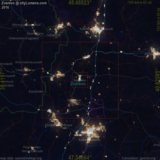
Analysis of Zverevo night lights 2016
Square area 10x10 km:
 0.28%
0.28%90-99
1.42%80-89
0.57%70-79
0.43%60-69
0.71%50-59
1.28%40-49
0.71%30-39
0.28%20-29
1.42%10-19
0%0-9
92.9%Square area 50x50 km:
0.18%90-99
0.25%80-89
0.2%70-79
0.32%60-69
0.33%50-59
0.67%40-49
0.68%30-39
0.73%20-29
0.65%10-19
1.09%0-9
94.91%Clear (daylight) street map image can be seen on geolist.org.
Map coordinates:
48° 29' 21.2" North, 39° 25' 10.9" East
48° 1' 15.9" North, 40° 7' 22.2" East
47° 32' 55.1" North, 40° 49' 33.4" East
Some cities around Zverevo sort by population:
• Novoshakhtinsk
32.2 km =20 mi,  205°
205°
• Gukovo
14.7 km =9.1 mi,  288°
288°
• Krasnyy Sulin
14.9 km =9.3 mi,  195°
195°
• Chervonopartyzans’k, UA
25 km =15.5 mi,  284°
284°
• Likhovskoy
15.1 km =9.4 mi,  16°
16°
• Ayutinskiy
26.6 km =16.5 mi,  176°
176°
• Sokolovo-Kundryuchenskiy
24.5 km =15.2 mi, 212°
• Talovyy
23.8 km =14.8 mi, 182°
461910 (p: 24,978)
Sources (retrieved 2019-11-25):
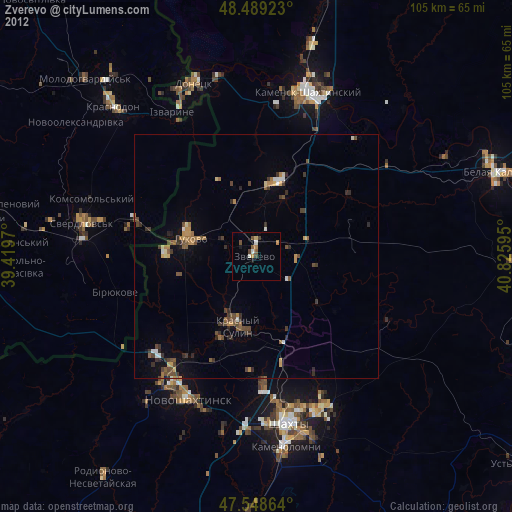
» Earth at Night: Flat Maps 2012, 2016