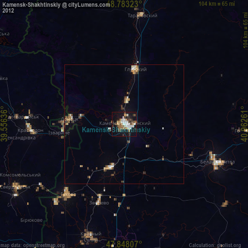
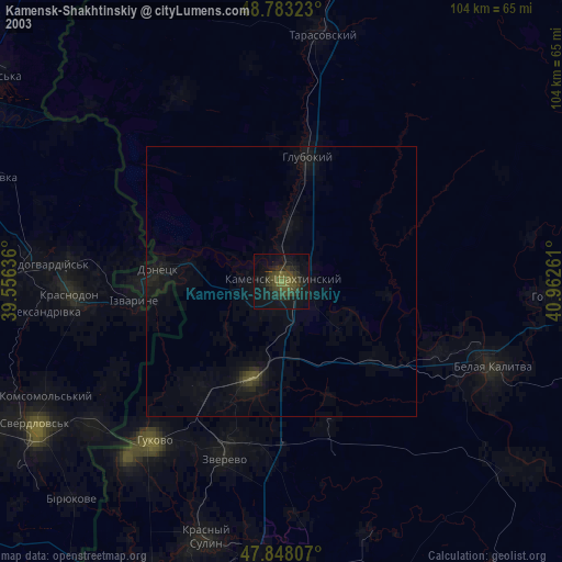
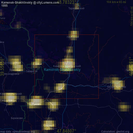
Kamensk-Shakhtinskiy night lights from space
Night Light of Kamensk-Shakhtinskiy (Rostov) from space (Russia) Src. Average luminocity for 10x10km area is 37.4389% and for 50x50km: 3.9323%.
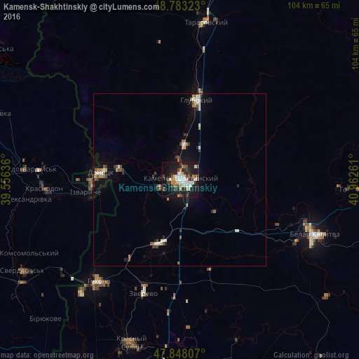
Analysis of Kamensk-Shakhtinskiy night lights 2016
Square area 10x10 km:
 6.68%
6.68%90-99
8.24%80-89
2.7%70-79
4.55%60-69
2.84%50-59
5.26%40-49
3.98%30-39
6.53%20-29
10.09%10-19
36.51%0-9
12.64%Square area 50x50 km:
0.61%90-99
0.63%80-89
0.28%70-79
0.43%60-69
0.37%50-59
0.57%40-49
0.43%30-39
0.66%20-29
0.75%10-19
2.8%0-9
92.48%Clear (daylight) street map image can be seen on geolist.org.
Map coordinates:
48° 46' 59.6" North, 39° 33' 22.9" East
48° 19' 4" North, 40° 15' 34.1" East
47° 50' 53.1" North, 40° 57' 45.4" East
Some cities around Kamensk-Shakhtinskiy sort by population:
• Gukovo
37.2 km =23.1 mi,  220°
220°
• Donetsk
22.3 km =13.9 mi,  276°
276°
• Zverevo
34.5 km =21.4 mi,  197°
197°
• Likhovskoy
19.4 km =12.1 mi, 197°
• Glubokiy
23.9 km =14.9 mi,  12°
12°
• Masalovka
9.6 km =6 mi,  0°
0°
• Koksovyy
31.4 km =19.5 mi,  115°
115°
• Staraya Stanitsa
4 km =2.5 mi,  39°
39°
553399 (p: 75,814)
Sources (retrieved 2019-11-25):
» NASA, Earths city lights 1995
» NASA city lights 2003
» Earth at Night: Flat Maps 2012, 2016