Rakitnoye night lights from space
Night Light of Rakitnoye (Belgorod Oblast) from space (Russia) Src. Average luminocity for 10x10km area is 1.6639% and for 50x50km: 0.3421%.
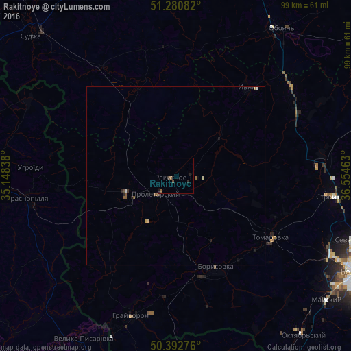
Analysis of Rakitnoye night lights 2016
Square area 10x10 km:
 0%
0%90-99
0%80-89
0%70-79
0%60-69
0.14%50-59
0.98%40-49
1.12%30-39
0%20-29
1.12%10-19
0.56%0-9
96.08%Square area 50x50 km:
0.01%90-99
0.05%80-89
0.05%70-79
0.01%60-69
0.05%50-59
0.16%40-49
0.07%30-39
0.04%20-29
0.14%10-19
0.09%0-9
99.34%Clear (daylight) street map image can be seen on geolist.org.
Map coordinates:
51° 16' 51" North, 35° 8' 54.2" East
50° 50' 20" North, 35° 51' 5.4" East
50° 23' 33.9" North, 36° 33' 16.7" East
Some cities around Rakitnoye sort by population:
• Borisovka
28.8 km =17.9 mi,  156°
156°
• Proletarskiy
7.6 km =4.7 mi,  226°
226°
• Krasnopillya, UA
42.2 km =26.2 mi,  260°
260°
• Krasnaya Yaruga
14.2 km =8.8 mi,  252°
252°
• Tomarovka
31.9 km =19.8 mi,  122°
122°
• Ivnya
31.8 km =19.8 mi,  38°
38°
• Grayvoron
42.1 km =26.2 mi,  196°
196°
• Golovchino
34.1 km =21.2 mi,  186°
186°
503067 (p: 10,596)
Sources (retrieved 2019-11-25):
» Earth at Night: Flat Maps 2012, 2016