Ivnya night lights from space
Night Light of Ivnya (Belgorod Oblast) from space (Russia) Src. Average luminocity for 10x10km area is 0.9171% and for 50x50km: 0.4478%.
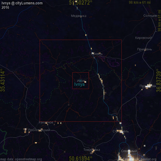
Analysis of Ivnya night lights 2016
Square area 10x10 km:
 0.13%
0.13%90-99
0.4%80-89
0%70-79
0%60-69
0.53%50-59
0%40-49
0%30-39
0%20-29
0%10-19
0%0-9
98.93%Square area 50x50 km:
0.02%90-99
0.03%80-89
0.04%70-79
0.08%60-69
0.1%50-59
0.07%40-49
0.07%30-39
0.15%20-29
0.24%10-19
0.1%0-9
99.12%Clear (daylight) street map image can be seen on geolist.org.
Map coordinates:
51° 30' 9.8" North, 35° 25' 52.1" East
51° 3' 46.6" North, 36° 8' 3.3" East
50° 37' 8.2" North, 36° 50' 14.6" East
Some cities around Ivnya sort by population:
• Stroitel’
39.4 km =24.5 mi,  141°
141°
• Oboyan’
19.2 km =11.9 mi,  31°
31°
• Rakitnoye
31.8 km =19.8 mi,  218°
218°
• Prokhorovka
41.9 km =26 mi,  93°
93°
• Proletarskiy
39.4 km =24.5 mi, 219°
• Krasnaya Yaruga
44.3 km =27.5 mi,  228°
228°
• Tomarovka
42.8 km =26.6 mi,  170°
170°
• Pristen’
43.6 km =27.1 mi,  63°
63°
554973 (p: 7,824)
Sources (retrieved 2019-11-25):
» Earth at Night: Flat Maps 2012, 2016