Golovchino night lights from space
Night Light of Golovchino (Belgorod Oblast) from space (Russia) Src. Average luminocity for 10x10km area is 0.9356% and for 50x50km: 0.2016%.
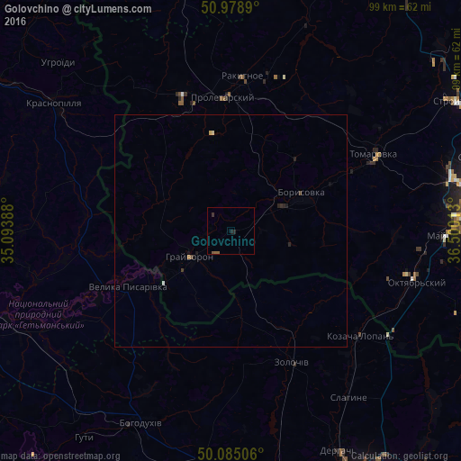
Analysis of Golovchino night lights 2016
Square area 10x10 km:
 0%
0%90-99
0%80-89
0%70-79
0%60-69
0%50-59
0.84%40-49
0%30-39
0.56%20-29
0.7%10-19
0.42%0-9
97.48%Square area 50x50 km:
0.02%90-99
0.01%80-89
0.04%70-79
0.01%60-69
0.02%50-59
0.08%40-49
0.03%30-39
0.07%20-29
0.11%10-19
0.1%0-9
99.53%Clear (daylight) street map image can be seen on geolist.org.
Map coordinates:
50° 58' 44" North, 35° 5' 38" East
50° 32' 2.8" North, 35° 47' 49.2" East
50° 5' 6.2" North, 36° 30' 0.5" East
Some cities around Golovchino sort by population:
• Borisovka
17.2 km =10.7 mi,  64°
64°
• Zolochiv, UA
31.2 km =19.4 mi,  155°
155°
• Rakitnoye
34.1 km =21.2 mi,  6°
6°
• Proletarskiy
28.7 km =17.8 mi,  356°
356°
• Krasnaya Yaruga
31.2 km =19.4 mi,  341°
341°
• Tomarovka
35 km =21.7 mi, 61°
• Grayvoron
10.6 km =6.6 mi,  232°
232°
• Velyka Pysarivka, UA
25.5 km =15.8 mi,  241°
241°
560674 (p: 5,356)
Sources (retrieved 2019-11-25):
» Earth at Night: Flat Maps 2012, 2016