Proletarskiy night lights from space
Night Light of Proletarskiy (Belgorod Oblast) from space (Russia) Src. Average luminocity for 10x10km area is 2.1232% and for 50x50km: 0.3353%.
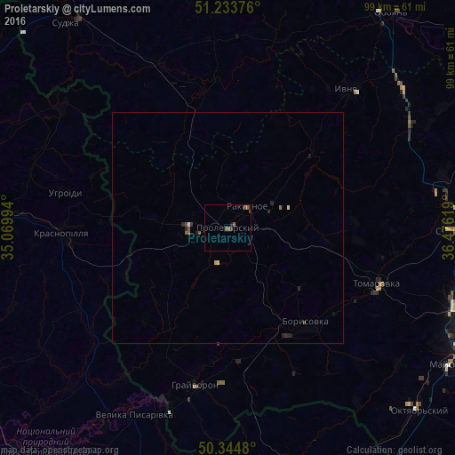
Analysis of Proletarskiy night lights 2016
Square area 10x10 km:
 0%
0%90-99
0%80-89
0%70-79
0%60-69
0.28%50-59
1.96%40-49
0.84%30-39
0.42%20-29
0.14%10-19
0.98%0-9
95.38%Square area 50x50 km:
0%90-99
0.03%80-89
0.05%70-79
0.01%60-69
0.03%50-59
0.16%40-49
0.08%30-39
0.07%20-29
0.18%10-19
0.09%0-9
99.29%Clear (daylight) street map image can be seen on geolist.org.
Map coordinates:
51° 14' 1.5" North, 35° 4' 11.8" East
50° 47' 29" North, 35° 46' 23" East
50° 20' 41.3" North, 36° 28' 34.3" East
Some cities around Proletarskiy sort by population:
• Borisovka
27.1 km =16.8 mi,  141°
141°
• Rakitnoye
7.6 km =4.7 mi,  46°
46°
• Krasnopillya, UA
36.1 km =22.4 mi,  267°
267°
• Krasnaya Yaruga
8.1 km =5 mi,  277°
277°
• Tomarovka
34.5 km =21.4 mi,  110°
110°
• Ivnya
39.4 km =24.5 mi,  39°
39°
• Grayvoron
35.6 km =22.1 mi,  190°
190°
• Golovchino
28.7 km =17.8 mi,  176°
176°
504806 (p: 8,786)
Sources (retrieved 2019-11-25):
» Earth at Night: Flat Maps 2012, 2016