Raduzhnyy night lights from space
Night Light of Raduzhnyy (Kirov) from space (Russia) Src. Average luminocity for 10x10km area is 0% and for 50x50km: 0%.
Analysis of Raduzhnyy night lights 2016
Square area 10x10 km:
 0%
0%90-99
0%80-89
0%70-79
0%60-69
0%50-59
0%40-49
0%30-39
0%20-29
0%10-19
0%0-9
100%Square area 50x50 km:
0%90-99
0%80-89
0%70-79
0%60-69
0%50-59
0%40-49
0%30-39
0%20-29
0%10-19
0%0-9
100%Clear (daylight) street map image can be seen on geolist.org.
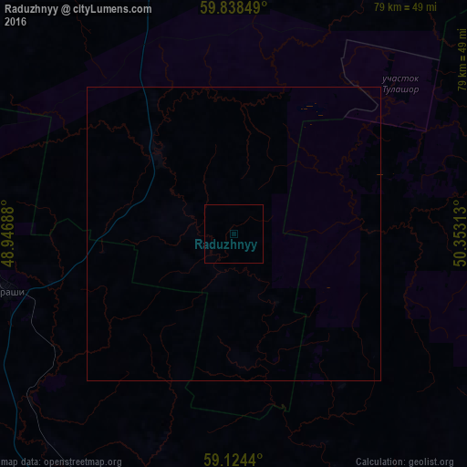
Map coordinates:
59° 50' 18.6" North, 48° 56' 48.8" East
59° 28' 60" North, 49° 39' 0" East
59° 7' 27.8" North, 50° 21' 11.3" East
Some cities around Raduzhnyy sort by population:
• Kirov
98.6 km =61.3 mi,  179°
179°
• Kirovo-Chepetsk
105.7 km =65.7 mi,  167°
167°
• Slobodskoy
88.8 km =55.2 mi,  160°
160°
• Lyangasovo
108 km =67.1 mi,  186°
186°
• Belaya Kholunitsa
99.1 km =61.6 mi,  136°
136°
• Vakhrushi
91.4 km =56.8 mi, 166°
• Murygino
83.6 km =51.9 mi, 187°
• Murashi
40 km =24.9 mi,  256°
256°
866054 (p: 9,514)
Sources (retrieved 2019-11-25):
» Earth at Night: Flat Maps 2012, 2016