Murashi night lights from space
Night Light of Murashi (Kirov) from space (Russia) Src. Average luminocity for 10x10km area is 0% and for 50x50km: 0.012%.
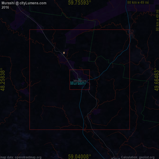
Analysis of Murashi night lights 2016
Square area 10x10 km:
 0%
0%90-99
0%80-89
0%70-79
0%60-69
0%50-59
0%40-49
0%30-39
0%20-29
0%10-19
0%0-9
100%Square area 50x50 km:
0%90-99
0%80-89
0%70-79
0%60-69
0.02%50-59
0%40-49
0%30-39
0%20-29
0%10-19
0%0-9
99.98%Clear (daylight) street map image can be seen on geolist.org.
Map coordinates:
59° 45' 21.3" North, 48° 15' 30.2" East
59° 23' 59.6" North, 48° 57' 41.4" East
59° 2' 24.3" North, 49° 39' 52.7" East
Some cities around Murashi sort by population:
• Kirov
97.9 km =60.8 mi,  155°
155°
• Slobodskoy
101.7 km =63.2 mi,  136°
136°
• Lyangasovo
102 km =63.4 mi, 164°
• Vakhrushi
100.2 km =62.3 mi, 142°
• Raduzhnyy
40 km =24.9 mi,  76°
76°
• Orlov
95.8 km =59.5 mi,  182°
182°
• Murygino
78.8 km =49 mi, 158°
• Darovskoy
90.6 km =56.3 mi,  219°
219°
524414 (p: 7,190)
Sources (retrieved 2019-11-25):
» Earth at Night: Flat Maps 2012, 2016