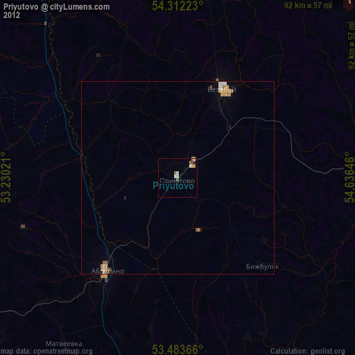
Priyutovo night lights from space
Night Light of Priyutovo (Bashkortostan Republic) from space (Russia) Src. Average luminocity for 10x10km area is 6.4392% and for 50x50km: 1.3835%.
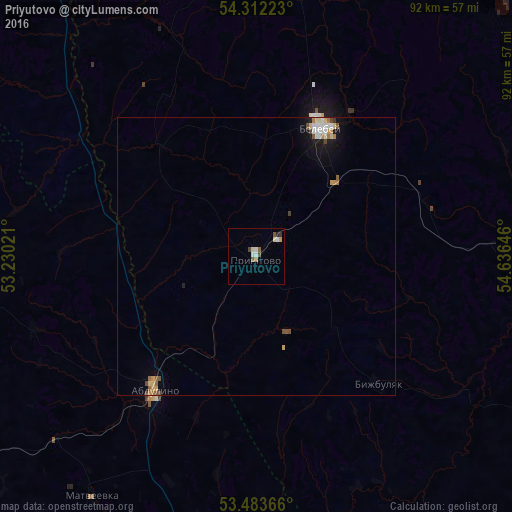
Analysis of Priyutovo night lights 2016
Square area 10x10 km:
 1.06%
1.06%90-99
1.32%80-89
0.79%70-79
0.53%60-69
0.53%50-59
1.59%40-49
1.06%30-39
0.53%20-29
0.53%10-19
0%0-9
92.06%Square area 50x50 km:
0.21%90-99
0.21%80-89
0.22%70-79
0.18%60-69
0.13%50-59
0.26%40-49
0.2%30-39
0.05%20-29
0.05%10-19
0.7%0-9
97.78%Clear (daylight) street map image can be seen on geolist.org.
Map coordinates:
54° 18' 44" North, 53° 13' 48.8" East
53° 54' 0" North, 53° 55' 60" East
53° 29' 1.2" North, 54° 38' 11.3" East
Some cities around Priyutovo sort by population:
• Oktyabr’skiy
71.3 km =44.3 mi,  335°
335°
• Belebey
26.9 km =16.7 mi,  26°
26°
• Bavly
70.2 km =43.6 mi,  321°
321°
• Abdulino
28.3 km =17.6 mi,  218°
218°
• Rayevskiy
68.8 km =42.8 mi,  74°
74°
• Serafimovskiy
59 km =36.7 mi,  351°
351°
• Kirgiz-Miyaki
64.1 km =39.8 mi,  117°
117°
• Bizhbulyak
31.4 km =19.5 mi,  136°
136°
505014 (p: 20,847)
Sources (retrieved 2019-11-25):
» Earth at Night: Flat Maps 2012, 2016