Belebey night lights from space
Night Light of Belebey (Bashkortostan Republic) from space (Russia) Src. Average luminocity for 10x10km area is 23.7778% and for 50x50km: 1.3885%.
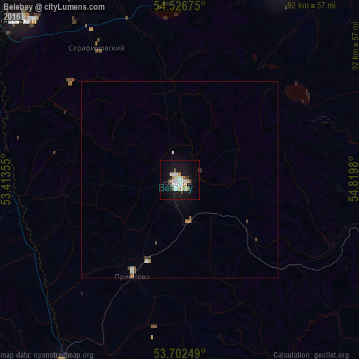
Analysis of Belebey night lights 2016
Square area 10x10 km:
 5.05%
5.05%90-99
5.05%80-89
3.16%70-79
1.89%60-69
2.02%50-59
1.52%40-49
2.02%30-39
0.76%20-29
0.25%10-19
30.18%0-9
48.11%Square area 50x50 km:
0.25%90-99
0.27%80-89
0.16%70-79
0.14%60-69
0.12%50-59
0.14%40-49
0.17%30-39
0.09%20-29
0.04%10-19
1.26%0-9
97.38%Clear (daylight) street map image can be seen on geolist.org.
Map coordinates:
54° 31' 36.3" North, 53° 24' 48.8" East
54° 7' 0" North, 54° 7' 0" East
53° 42' 9" North, 54° 49' 11.3" East
Some cities around Belebey sort by population:
• Oktyabr’skiy
58.3 km =36.2 mi,  314°
314°
• Abdulino
54.9 km =34.1 mi,  212°
212°
• Priyutovo
26.9 km =16.7 mi, 206°
• Rayevskiy
54.4 km =33.8 mi,  95°
95°
• Kandry
50 km =31.1 mi,  0°
0°
• Serafimovskiy
40 km =24.9 mi,  328°
328°
• Bizhbulyak
47.7 km =29.6 mi,  168°
168°
• Subkhankulovo
52.8 km =32.8 mi,  338°
338°
578120 (p: 62,582)
Sources (retrieved 2019-11-25):
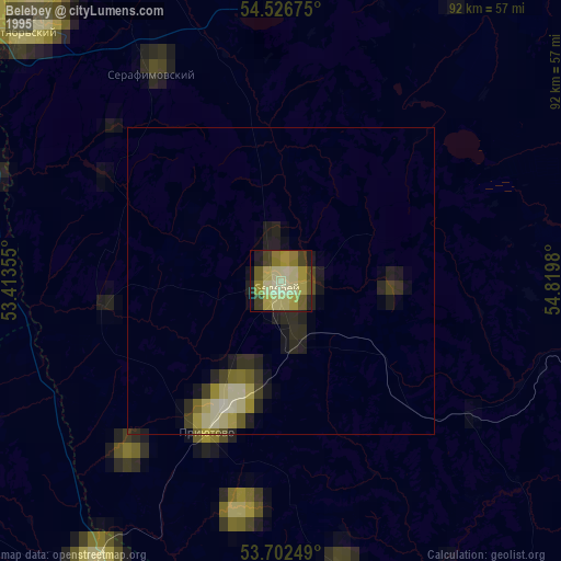
» NASA, Earths city lights 1995
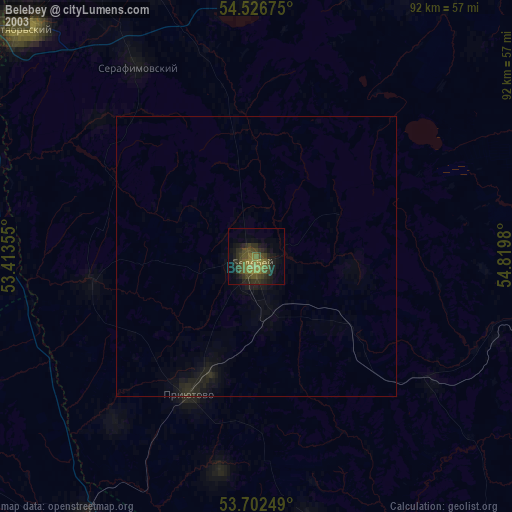
» NASA city lights 2003
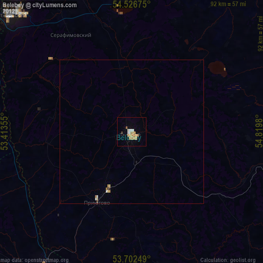
» Earth at Night: Flat Maps 2012, 2016