Bavly night lights from space
Night Light of Bavly (Tatarstan Republic) from space (Russia) Src. Average luminocity for 10x10km area is 8.4524% and for 50x50km: 1.8938%.
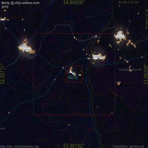
Analysis of Bavly night lights 2016
Square area 10x10 km:
 0.75%
0.75%90-99
1.25%80-89
1.88%70-79
1.13%60-69
0.63%50-59
1.63%40-49
1.25%30-39
1%20-29
0.38%10-19
0.5%0-9
89.6%Square area 50x50 km:
0.32%90-99
0.35%80-89
0.14%70-79
0.12%60-69
0.15%50-59
0.23%40-49
0.34%30-39
0.22%20-29
0.04%10-19
1.71%0-9
96.38%Clear (daylight) street map image can be seen on geolist.org.
Map coordinates:
54° 48' 1.4" North, 52° 33' 25.6" East
54° 23' 34.9" North, 53° 15' 36.8" East
53° 58' 53.8" North, 53° 57' 48.1" East
Some cities around Bavly sort by population:
• Oktyabr’skiy
16.8 km =10.4 mi,  54°
54°
• Bugul’ma
33.9 km =21.1 mi,  298°
298°
• Tuymazy
37.5 km =23.3 mi, 50°
• Urussu
26.3 km =16.3 mi,  29°
29°
• Serafimovskiy
34.9 km =21.7 mi,  84°
84°
• Aktyubinskiy
55.2 km =34.3 mi,  327°
327°
• Subkhankulovo
40 km =24.9 mi,  62°
62°
• Karabash
54.9 km =34.1 mi,  307°
307°
578638 (p: 22,982)
Sources (retrieved 2019-11-25):
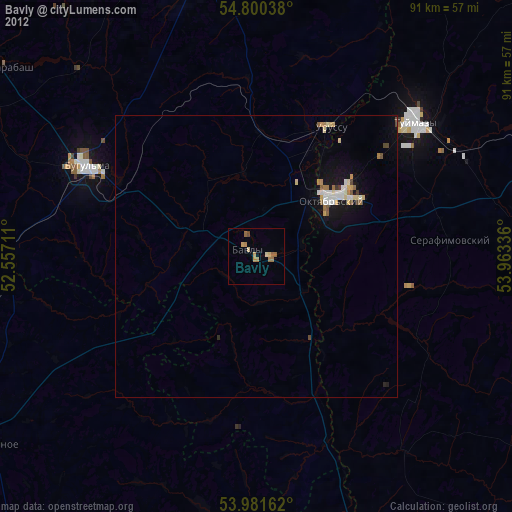
» Earth at Night: Flat Maps 2012, 2016