Abdulino night lights from space
Night Light of Abdulino (Orenburg Oblast) from space (Russia) Src. Average luminocity for 10x10km area is 8.6553% and for 50x50km: 0.6267%.

Analysis of Abdulino night lights 2016
Square area 10x10 km:
 0%
0%90-99
0.51%80-89
1.89%70-79
1.52%60-69
1.01%50-59
3.66%40-49
2.02%30-39
0.51%20-29
0%10-19
0%0-9
88.89%Square area 50x50 km:
0.03%90-99
0.06%80-89
0.09%70-79
0.08%60-69
0.06%50-59
0.27%40-49
0.16%30-39
0.02%20-29
0.06%10-19
0%0-9
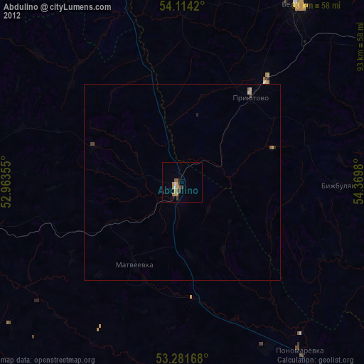
99.17%Clear (daylight) street map image can be seen on geolist.org.
Map coordinates:
54° 6' 51.1" North, 52° 57' 48.8" East
53° 42' 0" North, 53° 40' 0" East
53° 16' 54" North, 54° 22' 11.3" East
Some cities around Abdulino sort by population:
• Belebey
54.9 km =34.1 mi,  32°
32°
• Buguruslan
80.8 km =50.2 mi,  266°
266°
• Bavly
81.5 km =50.6 mi,  341°
341°
• Priyutovo
28.3 km =17.6 mi,  38°
38°
• Serafimovskiy
81 km =50.3 mi,  6°
6°
• Kirgiz-Miyaki
74.9 km =46.5 mi,  95°
95°
• Bizhbulyak
39.3 km =24.4 mi,  90°
90°
• Asekeyevo
59 km =36.7 mi,  256°
256°
584471 (p: 21,195)
Sources (retrieved 2019-11-25):
» Earth at Night: Flat Maps 2012, 2016