Pil’na night lights from space
Night Light of Pil’na (Nizhny Novgorod Oblast) from space (Russia) Src. Average luminocity for 10x10km area is 0.2306% and for 50x50km: 0.0652%.
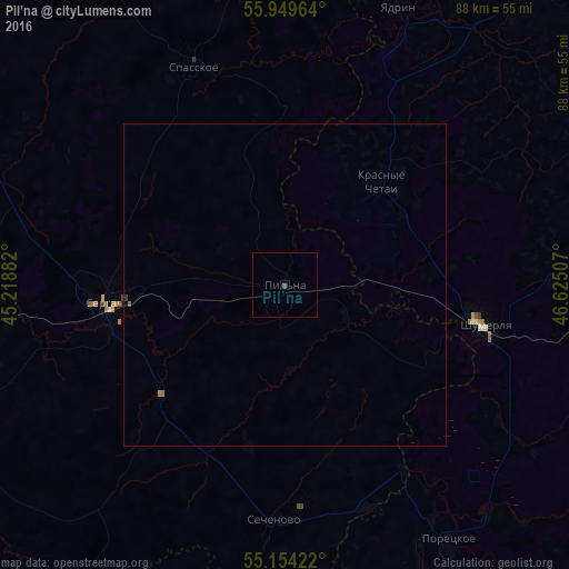
Analysis of Pil’na night lights 2016
Square area 10x10 km:
 0%
0%90-99
0%80-89
0%70-79
0%60-69
0%50-59
0%40-49
0.5%30-39
0%20-29
0%10-19
0%0-9
99.5%Square area 50x50 km:
0%90-99
0%80-89
0%70-79
0.01%60-69
0.03%50-59
0.02%40-49
0.02%30-39
0.03%20-29
0%10-19
0%0-9
99.89%Clear (daylight) street map image can be seen on geolist.org.
Map coordinates:
55° 56' 58.7" North, 45° 13' 7.8" East
55° 33' 14.2" North, 45° 55' 19" East
55° 9' 15.2" North, 46° 37' 30.3" East
Some cities around Pil’na sort by population:
• Shumerlya
31.5 km =19.6 mi,  100°
100°
• Sergach
28.8 km =17.9 mi,  264°
264°
• Yadrin
46.5 km =28.9 mi,  22°
22°
• Knyaginino
63.1 km =39.2 mi,  298°
298°
• Poretskoye
47.3 km =29.4 mi,  147°
147°
• Buturlino
64.4 km =40 mi,  271°
271°
• Vorotynets
56.4 km =35 mi,  356°
356°
• Sechenovo
36.7 km =22.8 mi,  183°
183°
509538 (p: 6,835)
Sources (retrieved 2019-11-25):
» Earth at Night: Flat Maps 2012, 2016