Alatyr’ night lights from space
Night Light of Alatyr’ (Chuvashia) from space (Russia) Src. Average luminocity for 10x10km area is 12.3995% and for 50x50km: 0.5377%.
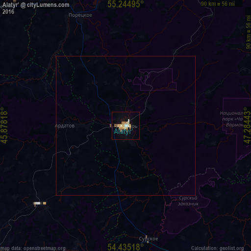
Analysis of Alatyr’ night lights 2016
Square area 10x10 km:
 0.6%
0.6%90-99
1.79%80-89
2.03%70-79
3.35%60-69
1.32%50-59
2.39%40-49
0.84%30-39
0.12%20-29
0%10-19
4.67%0-9
82.89%Square area 50x50 km:
0.02%90-99
0.07%80-89
0.08%70-79
0.14%60-69
0.05%50-59
0.11%40-49
0.04%30-39
0%20-29
0%10-19
0.19%0-9
99.28%Clear (daylight) street map image can be seen on geolist.org.
Map coordinates:
55° 14' 41.8" North, 45° 52' 41.4" East
54° 50' 31.6" North, 46° 34' 52.7" East
54° 26' 6.6" North, 47° 17' 3.9" East
Some cities around Alatyr’ sort by population:
• Ibresi
58.7 km =36.5 mi,  29°
29°
• Ardatov
21.9 km =13.6 mi,  271°
271°
• Surskoye
41 km =25.5 mi,  167°
167°
• Poretskoye
42.7 km =26.5 mi,  337°
337°
• Atyashevo
45.1 km =28 mi,  226°
226°
• Batyrevo
70.4 km =43.7 mi,  69°
69°
• Turgenevo
16.1 km =10 mi, 271°
• Sechenovo
61.2 km =38 mi,  314°
314°
583437 (p: 42,156)
Sources (retrieved 2019-11-25):
» Earth at Night: Flat Maps 2012, 2016