Turgenevo night lights from space
Night Light of Turgenevo (Mordoviya Republic) from space (Russia) Src. Average luminocity for 10x10km area is 0% and for 50x50km: 0.5399%.
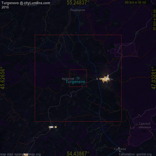
Analysis of Turgenevo night lights 2016
Square area 10x10 km:
 0%
0%90-99
0%80-89
0%70-79
0%60-69
0%50-59
0%40-49
0%30-39
0%20-29
0%10-19
0%0-9
100%Square area 50x50 km:
0.02%90-99
0.07%80-89
0.08%70-79
0.14%60-69
0.05%50-59
0.11%40-49
0.04%30-39
0%20-29
0%10-19
0.19%0-9
99.28%Clear (daylight) street map image can be seen on geolist.org.
Map coordinates:
55° 14' 54.1" North, 45° 37' 35.6" East
54° 50' 44" North, 46° 19' 46.8" East
54° 26' 19.2" North, 47° 1' 58.1" East
Some cities around Turgenevo sort by population:
• Alatyr’
16.1 km =10 mi,  91°
91°
• Chamzinka
60.6 km =37.7 mi,  215°
215°
• Ardatov
5.8 km =3.6 mi,  272°
272°
• Surskoye
47.6 km =29.6 mi,  148°
148°
• Poretskoye
39.1 km =24.3 mi,  359°
359°
• Atyashevo
35.5 km =22.1 mi,  208°
208°
• Sechenovo
50.6 km =31.4 mi,  326°
326°
• Bol’shoye Boldino
67.3 km =41.8 mi,  285°
285°
480301 (p: 5,168)
Sources (retrieved 2019-11-25):
» Earth at Night: Flat Maps 2012, 2016