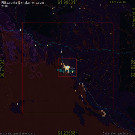
Pitkyaranta night lights from space
Night Light of Pitkyaranta (Karelia) from space (Russia) Src. Average luminocity for 10x10km area is 9.9317% and for 50x50km: 0.6154%.
Analysis of Pitkyaranta night lights 2016
Square area 10x10 km:
 0.52%
0.52%90-99
0.31%80-89
2.48%70-79
2.69%60-69
3%50-59
0.93%40-49
0%30-39
0.21%20-29
0.21%10-19
1.14%0-9
88.51%Square area 50x50 km:
0.02%90-99
0.03%80-89
0.1%70-79
0.12%60-69
0.2%50-59
0.07%40-49
0.07%30-39
0.21%20-29
0.01%10-19
0.04%0-9
99.13%Clear (daylight) street map image can be seen on geolist.org.
Map coordinates:
61° 54' 22.7" North, 30° 46' 33.7" East
61° 34' 24.2" North, 31° 28' 44.9" East
61° 14' 12.8" North, 32° 10' 56.2" East
Some cities around Pitkyaranta sort by population:
• Sortavala
43.5 km =27 mi,  290°
290°
• Priozërsk
93.4 km =58 mi,  230°
230°
• Suoyarvi
72.8 km =45.2 mi,  38°
38°
• Olonets
103.1 km =64.1 mi,  129°
129°
• Kitee, FI
91.1 km =56.6 mi,  310°
310°
• Lakhdenpokh’ya
68.1 km =42.3 mi,  264°
264°
• Pyhäselkä, FI
124 km =77.1 mi,  320°
320°
• Kerimäki, FI
121.6 km =75.6 mi, 287°
509234 (p: 13,090)
Sources (retrieved 2019-11-25):
» Earth at Night: Flat Maps 2012, 2016