Kinel’ night lights from space
Night Light of Kinel’ (Samara Oblast) from space (Russia) Src. Average luminocity for 10x10km area is 20.8611% and for 50x50km: 7.5407%.
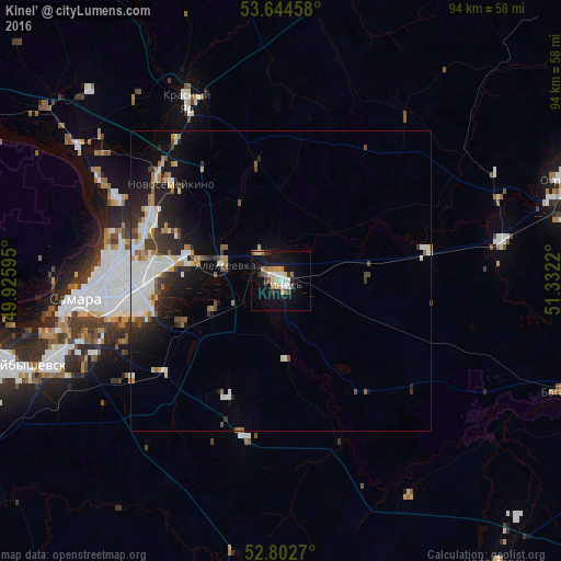
Analysis of Kinel’ night lights 2016
Square area 10x10 km:
 2.02%
2.02%90-99
3.66%80-89
3.41%70-79
3.66%60-69
2.9%50-59
1.52%40-49
1.77%30-39
1.89%20-29
1.14%10-19
22.22%0-9
55.81%Square area 50x50 km:
1.57%90-99
1.68%80-89
0.64%70-79
0.59%60-69
0.89%50-59
0.65%40-49
0.77%30-39
0.95%20-29
2.02%10-19
4.36%0-9
85.88%Clear (daylight) street map image can be seen on geolist.org.
Map coordinates:
53° 38' 40.5" North, 49° 55' 33.4" East
53° 13' 32.6" North, 50° 37' 44.7" East
52° 48' 9.7" North, 51° 19' 55.9" East
Some cities around Kinel’ sort by population:
• Samara
32 km =19.9 mi,  264°
264°
• Roschinskiy
21.3 km =13.2 mi,  204°
204°
• Novosemeykino
24.3 km =15.1 mi,  311°
311°
• Krasnyy Yar
34.3 km =21.3 mi,  332°
332°
• Petra-Dubrava
19.2 km =11.9 mi,  294°
294°
• Smyshlyayevka
15.9 km =9.9 mi,  275°
275°
• Krotovka
36.5 km =22.7 mi,  79°
79°
• Rozhdestveno
37.9 km =23.5 mi,  271°
271°
548625 (p: 34,336)
Sources (retrieved 2019-11-25):
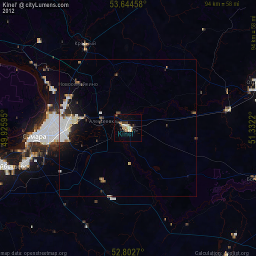
» Earth at Night: Flat Maps 2012, 2016