Obukhovo night lights from space
Night Light of Obukhovo (St.-Petersburg) from space (Russia) Src. Average luminocity for 10x10km area is 98.4421% and for 50x50km: 46.7736%.
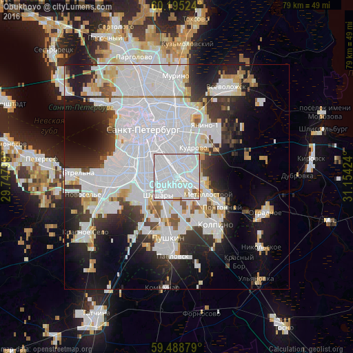
Analysis of Obukhovo night lights 2016
Square area 10x10 km:
 84.71%
90-99
10.33%80-89
2.27%70-79
1.24%60-69
0.21%50-59
1.24%40-49
0%30-39
0%20-29
0%10-19
0%0-9
0%Square area 50x50 km:
23.83%90-99
9.58%80-89
2.97%70-79
2.93%60-69
1.8%50-59
1.75%40-49
1.92%30-39
4.4%20-29
7.71%10-19
12.23%0-9
30.88%Clear (daylight) street map image can be seen on geolist.org.
Map coordinates:
60° 11' 42.9" North, 29° 44' 52.8" East
59° 50' 38" North, 30° 27' 4" East
59° 29' 19.6" North, 31° 9' 15.3" East
Some cities around Obukhovo sort by population:
• Centralniy
10.9 km =6.8 mi,  332°
332°
• Dachnoye
10.9 km =6.8 mi,  268°
268°
• Rybatskoye
2.7 km =1.7 mi,  100°
100°
• Kupchino
5.4 km =3.4 mi,  280°
280°
• Avtovo
10.8 km =6.7 mi,  286°
286°
• Metallostroy
7.2 km =4.5 mi,  131°
131°
• Shushary
5.5 km =3.4 mi,  225°
225°
• Pontonnyy
11.2 km =7 mi,  124°
124°
873901 (p: 45,664)
Sources (retrieved 2019-11-25):
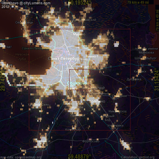
» Earth at Night: Flat Maps 2012, 2016