Dachnoye night lights from space
Night Light of Dachnoye (St.-Petersburg) from space (Russia) Src. Average luminocity for 10x10km area is 96.9948% and for 50x50km: 49.2646%.
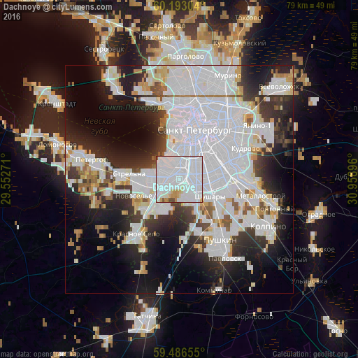

Analysis of Dachnoye night lights 2016
Square area 10x10 km:
 74.9%
74.9%90-99
15.81%80-89
2.79%70-79
3.93%60-69
0.52%50-59
0.72%40-49
1.34%30-39
0%20-29
0%10-19
0%0-9
0%Square area 50x50 km:
24.22%90-99
10.32%80-89
3.24%70-79
3.15%60-69
1.92%50-59
2.44%40-49
1.97%30-39
5.02%20-29
9.04%10-19
12.59%0-9
26.08%Clear (daylight) street map image can be seen on geolist.org.
Map coordinates:
60° 11' 34.9" North, 29° 33' 9.8" East
59° 50' 30" North, 30° 15' 21" East
59° 29' 11.6" North, 30° 57' 32.3" East
Some cities around Dachnoye sort by population:
• Admiralteisky
7.6 km =4.7 mi,  12°
12°
• Uritsk
4.5 km =2.8 mi,  266°
266°
• Kupchino
5.8 km =3.6 mi,  77°
77°
• Sosnovaya Polyana
6.1 km =3.8 mi,  263°
263°
• Obukhovo
10.9 km =6.8 mi,  88°
88°
• Avtovo
3.4 km =2.1 mi, 9°
• Gorelovo
10.3 km =6.4 mi,  221°
221°
• Shushary
7.9 km =4.9 mi,  117°
117°
567311 (p: 72,822)
Sources (retrieved 2019-11-25):
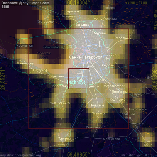
» NASA, Earths city lights 1995
» NASA city lights 2003
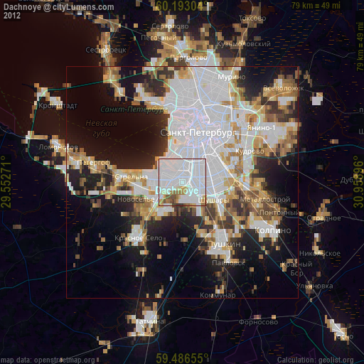
» Earth at Night: Flat Maps 2012, 2016