Avtovo night lights from space
Night Light of Avtovo (St.-Petersburg) from space (Russia) Src. Average luminocity for 10x10km area is 96.4903% and for 50x50km: 52.3919%.
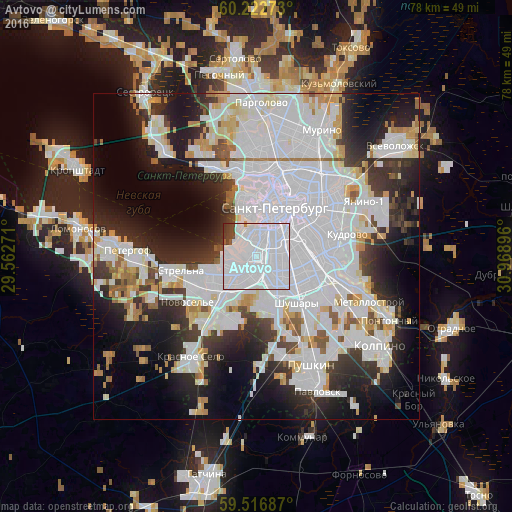
Analysis of Avtovo night lights 2016
Square area 10x10 km:
 84.2%
84.2%90-99
9.96%80-89
0%70-79
0.22%60-69
0%50-59
0.97%40-49
2.27%30-39
2.16%20-29
0.22%10-19
0%0-9
0%Square area 50x50 km:
25.2%90-99
11.4%80-89
3.7%70-79
3.44%60-69
2.16%50-59
2.58%40-49
2.13%30-39
5.18%20-29
9.57%10-19
12.97%0-9
21.67%Clear (daylight) street map image can be seen on geolist.org.
Map coordinates:
60° 13' 21.8" North, 29° 33' 45.8" East
59° 52' 18" North, 30° 15' 57" East
59° 31' 0.7" North, 30° 58' 8.3" East
Some cities around Avtovo sort by population:
• Saint Petersburg
7.9 km =4.9 mi,  19°
19°
• Centralniy
8.5 km =5.3 mi,  38°
38°
• Vasyl'evsky Ostrov
7.7 km =4.8 mi,  355°
355°
• Admiralteisky
4.2 km =2.6 mi,  14°
14°
• Dachnoye
3.4 km =2.1 mi,  189°
189°
• Uritsk
6.2 km =3.9 mi,  234°
234°
• Kupchino
5.5 km =3.4 mi,  112°
112°
• Sosnovaya Polyana
7.8 km =4.8 mi,  238°
238°
580222 (p: 44,667)
Sources (retrieved 2019-11-25):
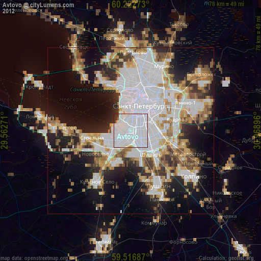
» Earth at Night: Flat Maps 2012, 2016