Darovskoy night lights from space
Night Light of Darovskoy (Kirov) from space (Russia) Src. Average luminocity for 10x10km area is 0.2336% and for 50x50km: 0.0093%.
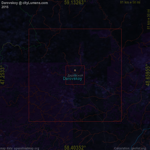
Analysis of Darovskoy night lights 2016
Square area 10x10 km:
 0%
0%90-99
0%80-89
0%70-79
0%60-69
0%50-59
0.34%40-49
0.11%30-39
0%20-29
0%10-19
0%0-9
99.55%Square area 50x50 km:
0%90-99
0%80-89
0%70-79
0%60-69
0%50-59
0.01%40-49
0%30-39
0%20-29
0%10-19
0%0-9
99.98%Clear (daylight) street map image can be seen on geolist.org.
Map coordinates:
59° 7' 57.5" North, 47° 15' 11.9" East
58° 46' 12" North, 47° 57' 23.1" East
58° 24' 12.7" North, 48° 39' 34.4" East
Some cities around Darovskoy sort by population:
• Kirov
100.3 km =62.3 mi,  101°
101°
• Kotel’nich
56.1 km =34.9 mi,  156°
156°
• Lyangasovo
90.7 km =56.4 mi,  108°
108°
• Orlov
59.9 km =37.2 mi,  115°
115°
• Murygino
86.7 km =53.9 mi,  92°
92°
• Orichi
75.7 km =47 mi, 122°
• Murashi
90.6 km =56.3 mi,  39°
39°
• Leninskoye
71.3 km =44.3 mi,  224°
224°
567047 (p: 7,261)
Sources (retrieved 2019-11-25):
» Earth at Night: Flat Maps 2012, 2016