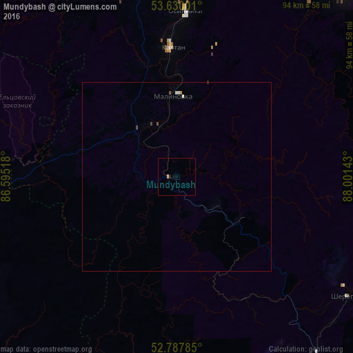
Mundybash night lights from space
Night Light of Mundybash (Kemerovo Oblast) from space (Russia) Src. Average luminocity for 10x10km area is 0.5303% and for 50x50km: 0.1554%.
Analysis of Mundybash night lights 2016
Square area 10x10 km:
 0%
0%90-99
0%80-89
0.38%70-79
0.13%60-69
0%50-59
0%40-49
0%30-39
0%20-29
0%10-19
0.51%0-9
98.99%Square area 50x50 km:
0.01%90-99
0.06%80-89
0.02%70-79
0.02%60-69
0%50-59
0.03%40-49
0.06%30-39
0.01%20-29
0%10-19
0.02%0-9
99.78%Clear (daylight) street map image can be seen on geolist.org.
Map coordinates:
53° 37' 48" North, 86° 35' 42.6" East
53° 12' 39.6" North, 87° 17' 53.9" East
52° 47' 16.3" North, 88° 0' 5.1" East
Some cities around Mundybash sort by population:
• Novokuznetsk
61.8 km =38.4 mi,  348°
348°
• Osinniki
46.1 km =28.6 mi,  5°
5°
• Myski
64.6 km =40.1 mi,  31°
31°
• Kaltan
36.2 km =22.5 mi, 354°
• Tashtagol
63.4 km =39.4 mi,  141°
141°
• Sheregesh
56.2 km =34.9 mi,  125°
125°
• Abagur
57.9 km =36 mi,  357°
357°
• Tayzhina
51.6 km =32.1 mi, 10°
1498248 (p: 5,870)
Sources (retrieved 2019-11-25):
» Earth at Night: Flat Maps 2012, 2016