Sheregesh night lights from space
Night Light of Sheregesh (Kemerovo Oblast) from space (Russia) Src. Average luminocity for 10x10km area is 1.705% and for 50x50km: 0.1203%.
Analysis of Sheregesh night lights 2016
Square area 10x10 km:
 0%
0%90-99
0.79%80-89
0.26%70-79
0%60-69
0.53%50-59
0.53%40-49
0%30-39
0%20-29
0%10-19
0%0-9
97.88%Square area 50x50 km:
0.01%90-99
0.06%80-89
0.01%70-79
0%60-69
0.02%50-59
0.02%40-49
0.02%30-39
0%20-29
0%10-19
0%0-9
99.85%Clear (daylight) street map image can be seen on geolist.org.
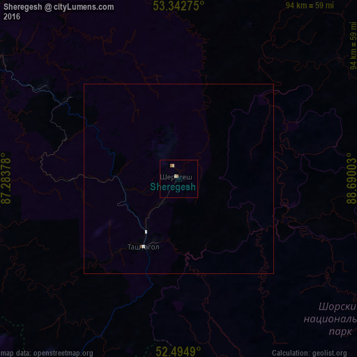
Map coordinates:
53° 20' 33.9" North, 87° 17' 1.6" East
52° 55' 15.2" North, 87° 59' 12.8" East
52° 29' 41.6" North, 88° 41' 24.1" East
Some cities around Sheregesh sort by population:
• Mezhdurechensk
86.1 km =53.5 mi,  3°
3°
• Osinniki
88.6 km =55.1 mi,  331°
331°
• Myski
88.5 km =55 mi,  351°
351°
• Kaltan
84.2 km =52.3 mi,  324°
324°
• Tashtagol
18.5 km =11.5 mi,  200°
200°
• Mundybash
56.2 km =34.9 mi,  305°
305°
• Turochak
94.1 km =58.5 mi,  218°
218°
• Tayzhina
90.8 km =56.4 mi,  336°
336°
1492252 (p: 10,114)
Sources (retrieved 2019-11-25):
» Earth at Night: Flat Maps 2012, 2016