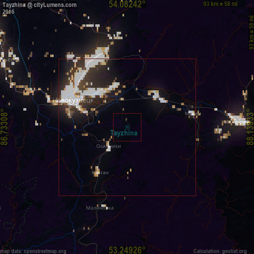
Tayzhina night lights from space
Night Light of Tayzhina (Kemerovo Oblast) from space (Russia) Src. Average luminocity for 10x10km area is 0.2879% and for 50x50km: 10.1233%.
Analysis of Tayzhina night lights 2016
Square area 10x10 km:
 0%
0%90-99
0%80-89
0%70-79
0%60-69
0%50-59
0%40-49
0.13%30-39
0.38%20-29
0%10-19
0%0-9
99.49%Square area 50x50 km:
2.77%90-99
2.47%80-89
0.73%70-79
0.46%60-69
0.6%50-59
0.84%40-49
0.81%30-39
1.93%20-29
3.38%10-19
4.89%0-9
81.11%Clear (daylight) street map image can be seen on geolist.org.
Map coordinates:
54° 4' 56.7" North, 86° 43' 59.1" East
53° 40' 4.4" North, 87° 26' 10.3" East
53° 14' 57.3" North, 88° 8' 21.6" East
Some cities around Tayzhina sort by population:
• Novokuznetsk
23.6 km =14.7 mi,  294°
294°
• Prokop’yevsk
54 km =33.6 mi,  299°
299°
• Mezhdurechensk
41.2 km =25.6 mi,  85°
85°
• Osinniki
7 km =4.3 mi,  225°
225°
• Myski
24.5 km =15.2 mi,  79°
79°
• Kaltan
19.4 km =12.1 mi,  220°
220°
• Abagur
14 km =8.7 mi, 300°
• Mundybash
51.6 km =32.1 mi,  190°
190°
1489863 (p: 5,063)
Sources (retrieved 2019-11-25):
» Earth at Night: Flat Maps 2012, 2016