Tashtagol night lights from space
Night Light of Tashtagol (Kemerovo Oblast) from space (Russia) Src. Average luminocity for 10x10km area is 1.2891% and for 50x50km: 0.1205%.
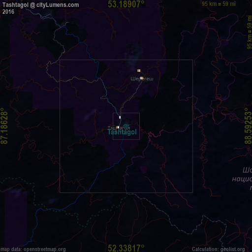
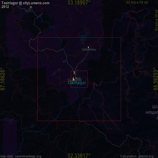
Analysis of Tashtagol night lights 2016
Square area 10x10 km:
 0.25%
0.25%90-99
0.76%80-89
0%70-79
0%60-69
0%50-59
0%40-49
0.51%30-39
0%20-29
0%10-19
0%0-9
98.48%Square area 50x50 km:
0.01%90-99
0.06%80-89
0.01%70-79
0%60-69
0.02%50-59
0.02%40-49
0.02%30-39
0%20-29
0%10-19
0%0-9
99.85%Clear (daylight) street map image can be seen on geolist.org.
Map coordinates:
53° 11' 20.7" North, 87° 11' 10.6" East
52° 45' 56.5" North, 87° 53' 21.8" East
52° 20' 17.4" North, 88° 35' 33.1" East
Some cities around Tashtagol sort by population:
• Mezhdurechensk
103.9 km =64.6 mi,  6°
6°
• Osinniki
101.7 km =63.2 mi,  339°
339°
• Myski
105 km =65.2 mi,  356°
356°
• Kaltan
95.7 km =59.5 mi,  333°
333°
• Sheregesh
18.5 km =11.5 mi,  20°
20°
• Mundybash
63.4 km =39.4 mi,  321°
321°
• Turochak
76.7 km =47.7 mi,  222°
222°
• Tayzhina
104.8 km =65.1 mi, 343°
1490042 (p: 22,779)
Sources (retrieved 2019-11-25):
» Earth at Night: Flat Maps 2012, 2016