Kaltan night lights from space
Night Light of Kaltan (Kemerovo Oblast) from space (Russia) Src. Average luminocity for 10x10km area is 6.3254% and for 50x50km: 3.2352%.
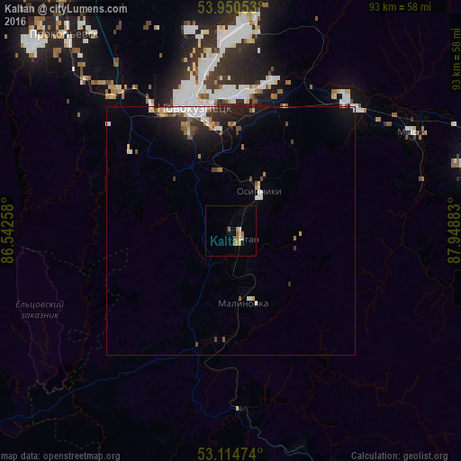
Analysis of Kaltan night lights 2016
Square area 10x10 km:
 0.66%
0.66%90-99
0.4%80-89
0.4%70-79
2.25%60-69
1.59%50-59
1.59%40-49
0%30-39
0%20-29
0%10-19
0%0-9
93.12%Square area 50x50 km:
0.52%90-99
0.59%80-89
0.15%70-79
0.31%60-69
0.35%50-59
0.49%40-49
0.4%30-39
0.46%20-29
0.89%10-19
2.2%0-9
93.65%Clear (daylight) street map image can be seen on geolist.org.
Map coordinates:
53° 57' 1.9" North, 86° 32' 33.3" East
53° 32' 4.9" North, 87° 14' 44.5" East
53° 6' 53.1" North, 87° 56' 55.8" East
Some cities around Kaltan sort by population:
• Novokuznetsk
26.2 km =16.3 mi,  339°
339°
• Prokop’yevsk
53.9 km =33.5 mi,  319°
319°
• Mezhdurechensk
56.6 km =35.2 mi,  71°
71°
• Osinniki
12.5 km =7.8 mi,  37°
37°
• Myski
41.5 km =25.8 mi,  62°
62°
• Abagur
21.8 km =13.5 mi,  1°
1°
• Mundybash
36.2 km =22.5 mi,  174°
174°
• Tayzhina
19.4 km =12.1 mi, 40°
1504972 (p: 25,903)
Sources (retrieved 2019-11-25):
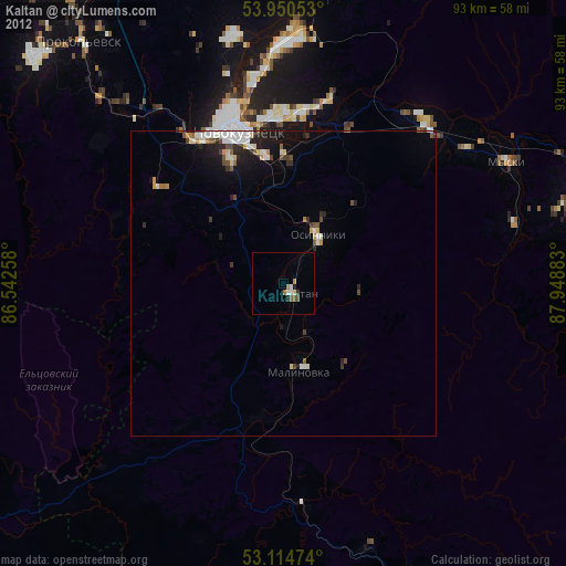
» Earth at Night: Flat Maps 2012, 2016