Mokrous night lights from space
Night Light of Mokrous (Saratovskaya Oblast) from space (Russia) Src. Average luminocity for 10x10km area is 0.3894% and for 50x50km: 0.0491%.
Analysis of Mokrous night lights 2016
Square area 10x10 km:
 0%
0%90-99
0%80-89
0%70-79
0%60-69
0.56%50-59
0%40-49
0%30-39
0%20-29
0%10-19
0%0-9
99.44%Square area 50x50 km:
0%90-99
0%80-89
0%70-79
0.02%60-69
0.02%50-59
0%40-49
0%30-39
0.04%20-29
0%10-19
0%0-9
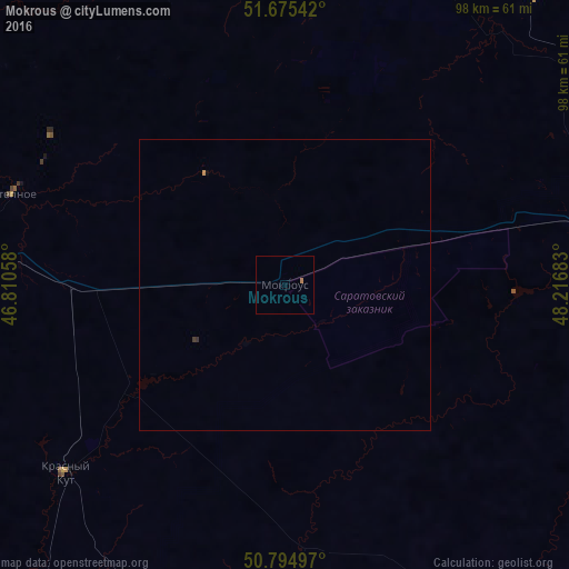
99.91%Clear (daylight) street map image can be seen on geolist.org.
Map coordinates:
51° 40' 31.5" North, 46° 48' 38.1" East
51° 14' 14.3" North, 47° 30' 49.3" East
50° 47' 41.9" North, 48° 13' 0.6" East
Some cities around Mokrous sort by population:
• Balakovo
90.1 km =56 mi,  12°
12°
• Vol’sk
90.3 km =56.1 mi,  354°
354°
• Marks
74.7 km =46.4 mi,  314°
314°
• Yershov
54.5 km =33.9 mi,  76°
76°
• Krasnyy Kut
49.8 km =30.9 mi,  230°
230°
• Stepnoye
48.8 km =30.3 mi,  288°
288°
• Dergachi
87.2 km =54.2 mi,  90°
90°
• Piterka
62.1 km =38.6 mi,  184°
184°
525719 (p: 6,738)
Sources (retrieved 2019-11-25):
» Earth at Night: Flat Maps 2012, 2016