Yershov night lights from space
Night Light of Yershov (Saratovskaya Oblast) from space (Russia) Src. Average luminocity for 10x10km area is 3.1849% and for 50x50km: 0.1309%.
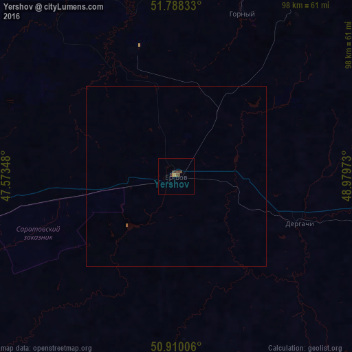
Analysis of Yershov night lights 2016
Square area 10x10 km:
 0%
0%90-99
0%80-89
0%70-79
1.12%60-69
0%50-59
0.84%40-49
2.52%30-39
0.98%20-29
0.14%10-19
0%0-9
94.4%Square area 50x50 km:
0%90-99
0%80-89
0%70-79
0.04%60-69
0%50-59
0.05%40-49
0.09%30-39
0.04%20-29
0.01%10-19
0%0-9
99.77%Clear (daylight) street map image can be seen on geolist.org.
Map coordinates:
51° 47' 18" North, 47° 34' 24.5" East
51° 21' 4.7" North, 48° 16' 35.8" East
50° 54' 36.2" North, 48° 58' 47" East
Some cities around Yershov sort by population:
• Balakovo
82.1 km =51 mi,  336°
336°
• Vol’sk
98.9 km =61.5 mi,  321°
321°
• Pugachev
82.1 km =51 mi,  26°
26°
• Stepnoye
99.1 km =61.6 mi,  271°
271°
• Dergachi
36.5 km =22.7 mi,  111°
111°
• Gornyy
48.8 km =30.3 mi,  22°
22°
• Mokrous
54.5 km =33.9 mi,  256°
256°
• Piterka
94.6 km =58.8 mi,  217°
217°
467120 (p: 23,681)
Sources (retrieved 2019-11-25):
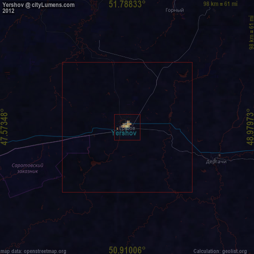
» Earth at Night: Flat Maps 2012, 2016