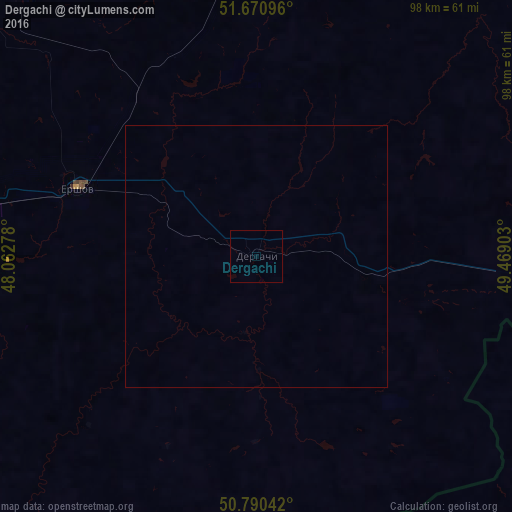
Dergachi night lights from space
Night Light of Dergachi (Saratovskaya Oblast) from space (Russia) Src. Average luminocity for 10x10km area is 0% and for 50x50km: 0%.
Analysis of Dergachi night lights 2016
Square area 10x10 km:
 0%
0%90-99
0%80-89
0%70-79
0%60-69
0%50-59
0%40-49
0%30-39
0%20-29
0%10-19
0%0-9
100%Square area 50x50 km:
0%90-99
0%80-89
0%70-79
0%60-69
0%50-59
0%40-49
0%30-39
0%20-29
0%10-19
0%0-9
100%Clear (daylight) street map image can be seen on geolist.org.
Map coordinates:
51° 40' 15.5" North, 48° 3' 46" East
51° 13' 58.1" North, 48° 45' 57.2" East
50° 47' 25.5" North, 49° 28' 8.5" East
Some cities around Dergachi sort by population:
• Balakovo
110.7 km =68.8 mi,  322°
322°
• Pugachev
86.8 km =53.9 mi,  1°
1°
• Yershov
36.5 km =22.7 mi,  291°
291°
• Novouzensk
96.5 km =60 mi,  206°
206°
• Staryye Ozinki
63.7 km =39.6 mi,  95°
95°
• Gornyy
60.4 km =37.5 mi,  345°
345°
• Tasqala, KZ
107.4 km =66.7 mi, 97°
• Mokrous
87.2 km =54.2 mi,  270°
270°
566456 (p: 9,570)
Sources (retrieved 2019-11-25):
» Earth at Night: Flat Maps 2012, 2016