Krasnyy Kut night lights from space
Night Light of Krasnyy Kut (Saratovskaya Oblast) from space (Russia) Src. Average luminocity for 10x10km area is 1.8291% and for 50x50km: 0.0847%.
Analysis of Krasnyy Kut night lights 2016
Square area 10x10 km:
 0%
0%90-99
0%80-89
0.14%70-79
0.7%60-69
0.28%50-59
1.12%40-49
0.28%30-39
0.28%20-29
0%10-19
0.56%0-9
96.64%Square area 50x50 km:
0%90-99
0%80-89
0.01%70-79
0.03%60-69
0.01%50-59
0.04%40-49
0.01%30-39
0.05%20-29
0%10-19
0.02%0-9
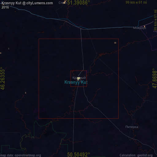
99.83%Clear (daylight) street map image can be seen on geolist.org.
Map coordinates:
51° 23' 27.1" North, 46° 15' 48.8" East
50° 57' 0" North, 46° 58' 0" East
50° 30' 17.7" North, 47° 40' 11.3" East
Some cities around Krasnyy Kut sort by population:
• Saratov
93.6 km =58.2 mi,  314°
314°
• Engel’s
84.4 km =52.4 mi, 314°
• Marks
86 km =53.4 mi,  349°
349°
• Privolzhskiy
81.9 km =50.9 mi, 308°
• Stepnoye
48.5 km =30.1 mi, 350°
• Mokrous
49.8 km =30.9 mi,  50°
50°
• Piterka
45.1 km =28 mi,  131°
131°
• Rovnoye
67.1 km =41.7 mi,  253°
253°
541647 (p: 14,956)
Sources (retrieved 2019-11-25):
» Earth at Night: Flat Maps 2012, 2016