Balakovo night lights from space
Night Light of Balakovo (Saratovskaya Oblast) from space (Russia) Src. Average luminocity for 10x10km area is 44.5795% and for 50x50km: 2.859%.
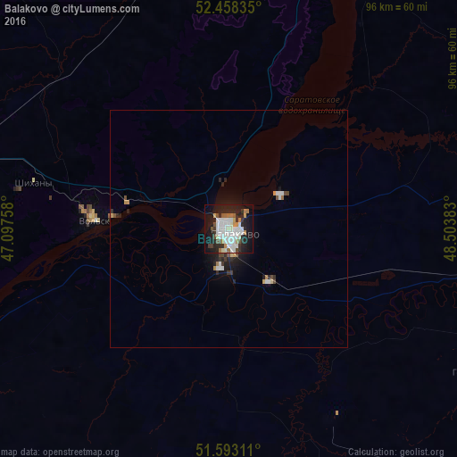
Analysis of Balakovo night lights 2016
Square area 10x10 km:
 12.12%
90-99
14.02%80-89
1.89%70-79
2.53%60-69
4.42%50-59
3.03%40-49
3.03%30-39
4.04%20-29
14.27%10-19
28.16%0-9
12.5%Square area 50x50 km:
0.63%90-99
0.67%80-89
0.13%70-79
0.24%60-69
0.25%50-59
0.19%40-49
0.3%30-39
0.31%20-29
0.95%10-19
2.08%0-9
94.25%Clear (daylight) street map image can be seen on geolist.org.
Map coordinates:
52° 27' 30.1" North, 47° 5' 51.3" East
52° 1' 40.2" North, 47° 48' 2.5" East
51° 35' 35.2" North, 48° 30' 13.8" East
Some cities around Balakovo sort by population:
• Vol’sk
28.8 km =17.9 mi,  273°
273°
• Pugachev
68.6 km =42.6 mi,  91°
91°
• Khvalynsk
55.5 km =34.5 mi,  21°
21°
• Gornyy
59 km =36.7 mi,  120°
120°
• Sennoy
58.8 km =36.5 mi,  283°
283°
• Shikhany
42.3 km =26.3 mi, 283°
• Staraya Kulatka
78.8 km =49 mi,  350°
350°
• Dukhovnitskoye
57.9 km =36 mi,  29°
29°
579492 (p: 199,572)
Sources (retrieved 2019-11-25):
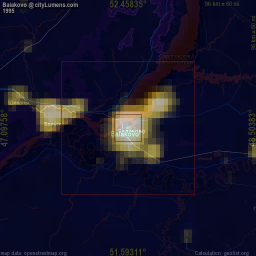
» NASA, Earths city lights 1995
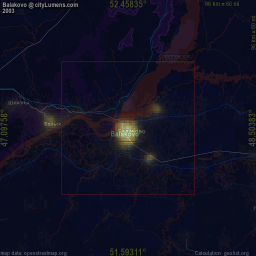
» NASA city lights 2003
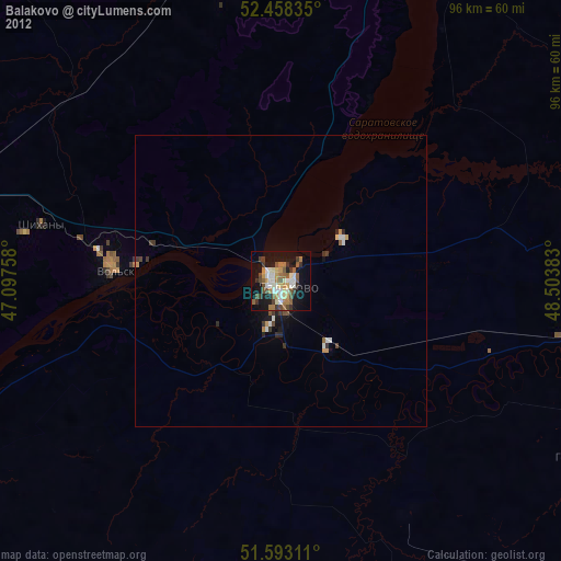
» Earth at Night: Flat Maps 2012, 2016