Marks night lights from space
Night Light of Marks (Saratovskaya Oblast) from space (Russia) Src. Average luminocity for 10x10km area is 3.7073% and for 50x50km: 0.17%.
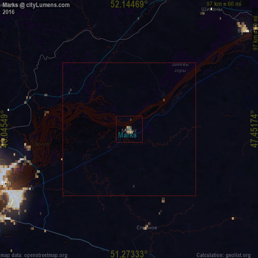
Analysis of Marks night lights 2016
Square area 10x10 km:
 0%
0%90-99
0%80-89
0%70-79
0.84%60-69
1.68%50-59
1.12%40-49
0.28%30-39
1.68%20-29
1.12%10-19
0%0-9
93.28%Square area 50x50 km:
0%90-99
0%80-89
0%70-79
0.03%60-69
0.06%50-59
0.04%40-49
0.01%30-39
0.09%20-29
0.11%10-19
0%0-9
99.66%Clear (daylight) street map image can be seen on geolist.org.
Map coordinates:
52° 8' 40.9" North, 46° 2' 43.8" East
51° 42' 40" North, 46° 44' 55" East
51° 16' 24" North, 47° 27' 6.3" East
Some cities around Marks sort by population:
• Saratov
54.5 km =33.9 mi,  249°
249°
• Engel’s
51.1 km =31.8 mi,  240°
240°
• Vol’sk
57.1 km =35.5 mi,  49°
49°
• Privolzhskiy
58.9 km =36.6 mi, 235°
• Stepnoye
37.5 km =23.3 mi,  169°
169°
• Sennoy
51.1 km =31.8 mi,  16°
16°
• Shikhany
54.7 km =34 mi,  34°
34°
• Sokolovyy
65.1 km =40.5 mi,  255°
255°
529073 (p: 32,929)
Sources (retrieved 2019-11-25):
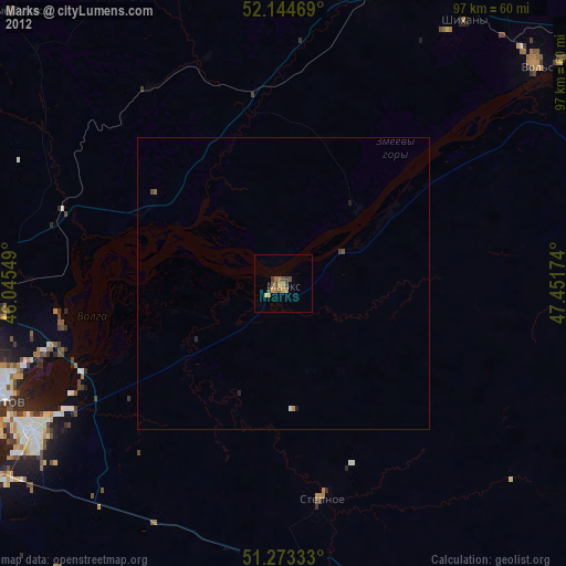
» Earth at Night: Flat Maps 2012, 2016