Luga night lights from space
Night Light of Luga (Leningradskaya Oblast') from space (Russia) Src. Average luminocity for 10x10km area is 21.7585% and for 50x50km: 1.3654%.
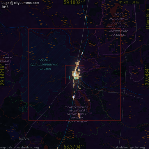
Analysis of Luga night lights 2016
Square area 10x10 km:
 1.36%
1.36%90-99
2.27%80-89
1.93%70-79
5.44%60-69
5.78%50-59
5.56%40-49
0.11%30-39
0%20-29
1.02%10-19
27.55%0-9
48.98%Square area 50x50 km:
0.07%90-99
0.13%80-89
0.15%70-79
0.29%60-69
0.27%50-59
0.34%40-49
0.16%30-39
0.05%20-29
0.04%10-19
1.3%0-9
97.2%Clear (daylight) street map image can be seen on geolist.org.
Map coordinates:
59° 6' 0.8" North, 29° 8' 31.8" East
58° 44' 14" North, 29° 50' 43" East
58° 22' 13.5" North, 30° 32' 54.3" East
Some cities around Luga sort by population:
• Velikiy Novgorod
85.9 km =53.4 mi,  106°
106°
• Volosovo
81.3 km =50.5 mi,  345°
345°
• Siverskiy
69.9 km =43.4 mi,  10°
10°
• Vyritsa
79.9 km =49.6 mi,  21°
21°
• Sol’tsy
73.7 km =45.8 mi,  157°
157°
• Pankovka
82.7 km =51.4 mi, 108°
• Strugi-Krasnyye
67.4 km =41.9 mi,  219°
219°
• Mariyenburg
93.6 km =58.2 mi, 7°
533690 (p: 40,114)
Sources (retrieved 2019-11-25):
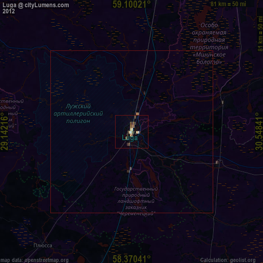
» Earth at Night: Flat Maps 2012, 2016