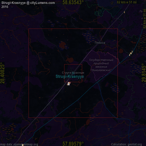
Strugi-Krasnyye night lights from space
Night Light of Strugi-Krasnyye (Pskov Oblast) from space (Russia) Src. Average luminocity for 10x10km area is 0.1483% and for 50x50km: 0.1042%.
Analysis of Strugi-Krasnyye night lights 2016
Square area 10x10 km:
 0%
0%90-99
0%80-89
0%70-79
0%60-69
0%50-59
0%40-49
0%30-39
0%20-29
0%10-19
0%0-9
100%Square area 50x50 km:
0.03%90-99
0.03%80-89
0%70-79
0.02%60-69
0.02%50-59
0.02%40-49
0%30-39
0%20-29
0%10-19
0%0-9
99.89%Clear (daylight) street map image can be seen on geolist.org.
Map coordinates:
58° 38' 7.5" North, 28° 24' 29.7" East
58° 16' 3.1" North, 29° 6' 40.9" East
57° 53' 44.8" North, 29° 48' 52.2" East
Some cities around Strugi-Krasnyye sort by population:
• Pskov
67.5 km =41.9 mi,  221°
221°
• Luga
67.4 km =41.9 mi,  39°
39°
• Pechory
101.5 km =63.1 mi,  240°
240°
• Porkhov
61.7 km =38.3 mi,  154°
154°
• Sol’tsy
72.8 km =45.2 mi,  102°
102°
• Dno
70 km =43.5 mi,  134°
134°
• Dedovichi
93.8 km =58.3 mi, 148°
• Gdov
91.9 km =57.1 mi,  305°
305°
487110 (p: 8,518)
Sources (retrieved 2019-11-25):
» Earth at Night: Flat Maps 2012, 2016