Loukhi night lights from space
Night Light of Loukhi (Karelia) from space (Russia) Src. Average luminocity for 10x10km area is 4.2963% and for 50x50km: 0.3337%.
Analysis of Loukhi night lights 2016
Square area 10x10 km:
 0.35%
0.35%90-99
0.71%80-89
0.35%70-79
2.82%60-69
0%50-59
0%40-49
0%30-39
0%20-29
0%10-19
0%0-9
95.77%Square area 50x50 km:
0.05%90-99
0.05%80-89
0.03%70-79
0.14%60-69
0%50-59
0.08%40-49
0.03%30-39
0%20-29
0%10-19
0%0-9
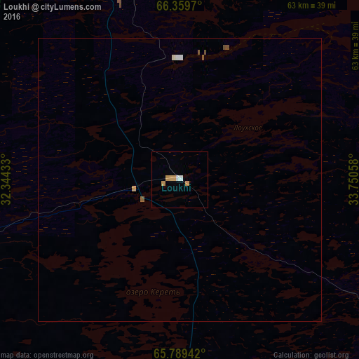
99.63%Clear (daylight) street map image can be seen on geolist.org.
Map coordinates:
66° 21' 34.9" North, 32° 20' 39.6" East
66° 4' 34.2" North, 33° 2' 50.8" East
65° 47' 21.9" North, 33° 45' 2.1" East
Some cities around Loukhi sort by population:
• Apatity
166.2 km =103.3 mi,  5°
5°
• Kandalaksha
123.9 km =77 mi,  346°
346°
• Polyarnyye Zori
145.4 km =90.3 mi, 350°
• Kem’
143.2 km =89 mi,  150°
150°
• Zelenoborskiy
90.7 km =56.4 mi,  340°
340°
• Alakurtti
155.2 km =96.4 mi,  309°
309°
• Umba
89.1 km =55.4 mi,  40°
40°
• Kalevala
129.5 km =80.5 mi,  221°
221°
533964 (p: 5,764)
Sources (retrieved 2019-11-25):
» Earth at Night: Flat Maps 2012, 2016