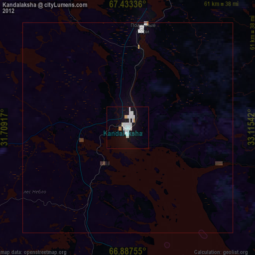
Kandalaksha night lights from space
Night Light of Kandalaksha (Murmansk) from space (Russia) Src. Average luminocity for 10x10km area is 19.5485% and for 50x50km: 1.1811%.
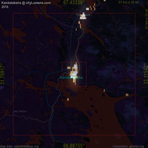
Analysis of Kandalaksha night lights 2016
Square area 10x10 km:
 4.34%
4.34%90-99
3.83%80-89
2.3%70-79
4.51%60-69
1.7%50-59
0.34%40-49
0%30-39
0%20-29
2.21%10-19
22.28%0-9
58.5%Square area 50x50 km:
0.25%90-99
0.22%80-89
0.09%70-79
0.19%60-69
0.13%50-59
0.1%40-49
0.03%30-39
0%20-29
0.09%10-19
1.14%0-9
97.76%Clear (daylight) street map image can be seen on geolist.org.
Map coordinates:
67° 26' 0.1" North, 31° 42' 33" East
67° 9' 43.2" North, 32° 24' 44.2" East
66° 53' 15.2" North, 33° 6' 55.5" East
Some cities around Kandalaksha sort by population:
• Apatity
61.6 km =38.3 mi,  43°
43°
• Monchegorsk
88.7 km =55.1 mi,  12°
12°
• Kirovsk
73.7 km =45.8 mi,  46°
46°
• Kovdor
94.3 km =58.6 mi,  298°
298°
• Polyarnyye Zori
23 km =14.3 mi, 9°
• Zelenoborskiy
35.3 km =21.9 mi,  183°
183°
• Alakurtti
92 km =57.2 mi,  256°
256°
• Umba
99.3 km =61.7 mi,  122°
122°
553190 (p: 38,431)
Sources (retrieved 2019-11-25):
» Earth at Night: Flat Maps 2012, 2016