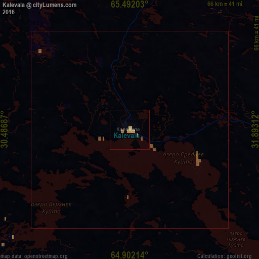
Kalevala night lights from space
Night Light of Kalevala (Karelia) from space (Russia) Src. Average luminocity for 10x10km area is 2.9956% and for 50x50km: 0.2469%.
Analysis of Kalevala night lights 2016
Square area 10x10 km:
 0%
0%90-99
0%80-89
0%70-79
1.75%60-69
0.87%50-59
0.79%40-49
0.44%30-39
0%20-29
0%10-19
0%0-9
96.15%Square area 50x50 km:
0%90-99
0%80-89
0%70-79
0.07%60-69
0.04%50-59
0.08%40-49
0.21%30-39
0%20-29
0%10-19
0%0-9
99.6%Clear (daylight) street map image can be seen on geolist.org.
Map coordinates:
65° 29' 31.3" North, 30° 29' 12.7" East
65° 11' 55.4" North, 31° 11' 24" East
64° 54' 7.7" North, 31° 53' 35.2" East
Some cities around Kalevala sort by population:
• Kostomuksha
75.6 km =47 mi,  202°
202°
• Kuusamo, FI
125.7 km =78.1 mi,  312°
312°
• Kem’
161.1 km =100.1 mi,  99°
99°
• Sotkamo, FI
177.3 km =110.2 mi,  228°
228°
• Kuhmo, FI
142.7 km =88.7 mi,  213°
213°
• Suomussalmi, FI
112.5 km =69.9 mi,  252°
252°
• Vuokatti, FI
181.3 km =112.7 mi, 229°
• Loukhi
129.5 km =80.5 mi,  41°
41°
554318 (p: 5,431)
Sources (retrieved 2019-11-25):
» Earth at Night: Flat Maps 2012, 2016