Alakurtti night lights from space
Night Light of Alakurtti (Murmansk) from space (Russia) Src. Average luminocity for 10x10km area is 2.2045% and for 50x50km: 0.0914%.
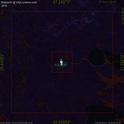
Analysis of Alakurtti night lights 2016
Square area 10x10 km:
 0.65%
0.65%90-99
0.41%80-89
0.41%70-79
0.49%60-69
0%50-59
0%40-49
0%30-39
0.08%20-29
0.24%10-19
0%0-9
97.73%Square area 50x50 km:
0.03%90-99
0.02%80-89
0.02%70-79
0.02%60-69
0%50-59
0%40-49
0%30-39
0%20-29
0.01%10-19
0%0-9
99.91%Clear (daylight) street map image can be seen on geolist.org.
Map coordinates:
67° 14' 26.7" North, 29° 38' 45.3" East
66° 58' 1.9" North, 30° 20' 56.6" East
66° 41' 25.9" North, 31° 3' 7.8" East
Some cities around Alakurtti sort by population:
• Apatity
147 km =91.3 mi,  63°
63°
• Kandalaksha
92 km =57.2 mi,  76°
76°
• Kovdor
66.8 km =41.5 mi,  4°
4°
• Kuusamo, FI
122.7 km =76.2 mi,  204°
204°
• Polyarnyye Zori
102.8 km =63.9 mi, 64°
• Kemijärvi, FI
130.7 km =81.2 mi,  257°
257°
• Zelenoborskiy
88.8 km =55.2 mi,  98°
98°
• Pyhäjärvi, FI
136.4 km =84.8 mi,  274°
274°
583472 (p: 6,293)
Sources (retrieved 2019-11-25):
» Earth at Night: Flat Maps 2012, 2016