Lesnoy night lights from space
Night Light of Lesnoy (Kirov) from space (Russia) Src. Average luminocity for 10x10km area is 0.5725% and for 50x50km: 0.0324%.
Analysis of Lesnoy night lights 2016
Square area 10x10 km:
 0%
0%90-99
0%80-89
0%70-79
0%60-69
0.43%50-59
0.43%40-49
0%30-39
0%20-29
0%10-19
0%0-9
99.13%Square area 50x50 km:
0%90-99
0%80-89
0%70-79
0%60-69
0.02%50-59
0.02%40-49
0.02%30-39
0%20-29
0%10-19
0%0-9
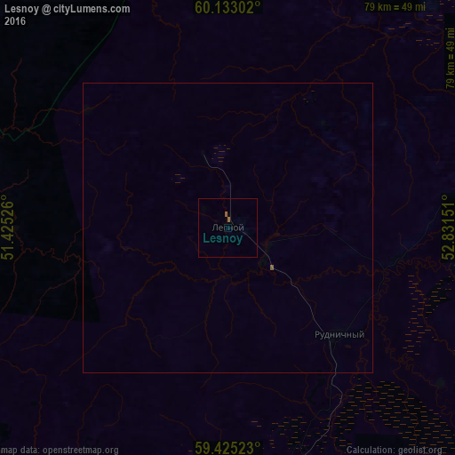
99.95%Clear (daylight) street map image can be seen on geolist.org.
Map coordinates:
60° 7' 58.9" North, 51° 25' 30.9" East
59° 46' 51.6" North, 52° 7' 42.2" East
59° 25' 30.8" North, 52° 49' 53.4" East
Some cities around Lesnoy sort by population:
• Omutninsk
123.6 km =76.8 mi,  178°
178°
• Belaya Kholunitsa
127.2 km =79 mi,  214°
214°
• Kirs
49.6 km =30.8 mi,  172°
172°
• Raduzhnyy
143.2 km =89 mi,  256°
256°
• Vostochnyy
110.6 km =68.7 mi, 176°
• Peskovka
82.9 km =51.5 mi, 170°
• Rudnichnyy
26.5 km =16.5 mi,  133°
133°
• Falënki
160.8 km =99.9 mi,  190°
190°
535734 (p: 6,915)
Sources (retrieved 2019-11-25):
» Earth at Night: Flat Maps 2012, 2016