Rudnichnyy night lights from space
Night Light of Rudnichnyy (Kirov) from space (Russia) Src. Average luminocity for 10x10km area is 0% and for 50x50km: 0.0321%.
Analysis of Rudnichnyy night lights 2016
Square area 10x10 km:
 0%
0%90-99
0%80-89
0%70-79
0%60-69
0%50-59
0%40-49
0%30-39
0%20-29
0%10-19
0%0-9
100%Square area 50x50 km:
0%90-99
0%80-89
0%70-79
0%60-69
0.02%50-59
0.02%40-49
0.02%30-39
0%20-29
0%10-19
0%0-9
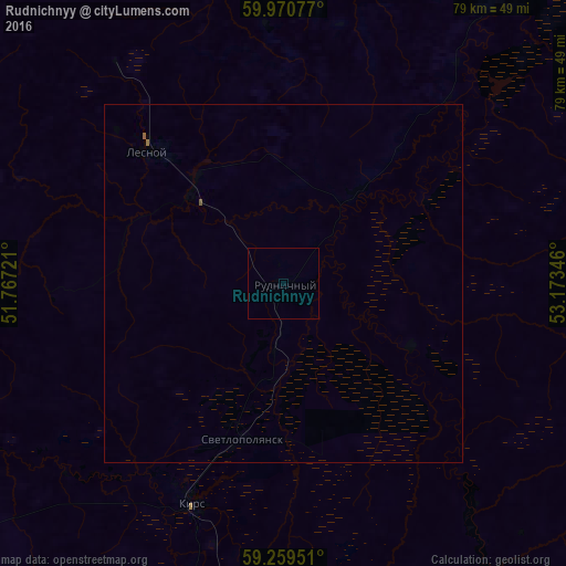
99.95%Clear (daylight) street map image can be seen on geolist.org.
Map coordinates:
59° 58' 14.8" North, 51° 46' 2" East
59° 37' 1.3" North, 52° 28' 13.2" East
59° 15' 34.2" North, 53° 10' 24.5" East
Some cities around Rudnichnyy sort by population:
• Kudymkar
141 km =87.6 mi,  118°
118°
• Omutninsk
106.5 km =66.2 mi,  188°
188°
• Belaya Kholunitsa
126.2 km =78.4 mi,  226°
226°
• Kirs
33.5 km =20.8 mi,  202°
202°
• Vostochnyy
93.1 km =57.8 mi, 187°
• Lesnoy
26.5 km =16.5 mi,  313°
313°
• Peskovka
63.9 km =39.7 mi, 185°
• Falënki
148.4 km =92.2 mi, 199°
500695 (p: 5,555)
Sources (retrieved 2019-11-25):
» Earth at Night: Flat Maps 2012, 2016