Kirs night lights from space
Night Light of Kirs (Kirov) from space (Russia) Src. Average luminocity for 10x10km area is 0.3074% and for 50x50km: 0.0216%.
Analysis of Kirs night lights 2016
Square area 10x10 km:
 0%
0%90-99
0%80-89
0%70-79
0%60-69
0.43%50-59
0%40-49
0%30-39
0%20-29
0%10-19
0%0-9
99.57%Square area 50x50 km:
0%90-99
0%80-89
0%70-79
0%60-69
0.02%50-59
0.02%40-49
0%30-39
0%20-29
0%10-19
0%0-9
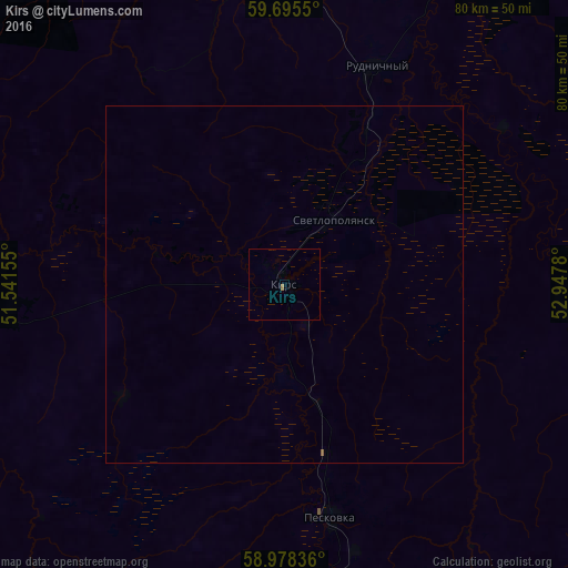
99.97%Clear (daylight) street map image can be seen on geolist.org.
Map coordinates:
59° 41' 43.8" North, 51° 32' 29.6" East
59° 20' 19.8" North, 52° 14' 40.8" East
58° 58' 42.1" North, 52° 56' 52.1" East
Some cities around Kirs sort by population:
• Omutninsk
74.4 km =46.2 mi,  182°
182°
• Belaya Kholunitsa
96.9 km =60.2 mi,  235°
235°
• Vostochnyy
61.2 km =38 mi, 179°
• Yar
121.8 km =75.7 mi, 183°
• Lesnoy
49.6 km =30.8 mi,  352°
352°
• Peskovka
33.4 km =20.8 mi,  168°
168°
• Rudnichnyy
33.5 km =20.8 mi,  22°
22°
• Falënki
114.9 km =71.4 mi,  198°
198°
548333 (p: 11,385)
Sources (retrieved 2019-11-25):
» Earth at Night: Flat Maps 2012, 2016