Kotel’nich night lights from space
Night Light of Kotel’nich (Kirov) from space (Russia) Src. Average luminocity for 10x10km area is 8.5635% and for 50x50km: 0.3974%.

Analysis of Kotel’nich night lights 2016
Square area 10x10 km:
 0%
0%90-99
0%80-89
0.45%70-79
3.63%60-69
3.63%50-59
0.79%40-49
1.93%30-39
0%20-29
0%10-19
0.23%0-9
89.34%Square area 50x50 km:
0%90-99
0%80-89
0.04%70-79
0.18%60-69
0.15%50-59
0.03%40-49
0.08%30-39
0%20-29
0%10-19
0.01%0-9
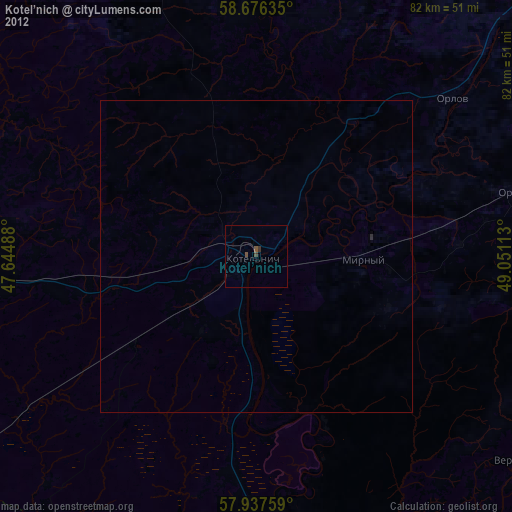
99.52%Clear (daylight) street map image can be seen on geolist.org.
Map coordinates:
58° 40' 34.9" North, 47° 38' 41.6" East
58° 18' 32" North, 48° 20' 52.8" East
57° 56' 15.3" North, 49° 3' 4.1" East
Some cities around Kotel’nich sort by population:
• Lyangasovo
68.1 km =42.3 mi,  70°
70°
• Raduzhnyy
78.4 km =48.7 mi, 74°
• Orlov
40.7 km =25.3 mi,  50°
50°
• Murygino
80.2 km =49.8 mi, 53°
• Orichi
42.7 km =26.5 mi,  75°
75°
• Darovskoy
56.1 km =34.9 mi,  336°
336°
• Leninskoye
73.6 km =45.7 mi,  270°
270°
• Tuzha
81.8 km =50.8 mi,  197°
197°
543737 (p: 27,600)
Sources (retrieved 2019-11-25):
» Earth at Night: Flat Maps 2012, 2016