Krasnoshchekovo night lights from space
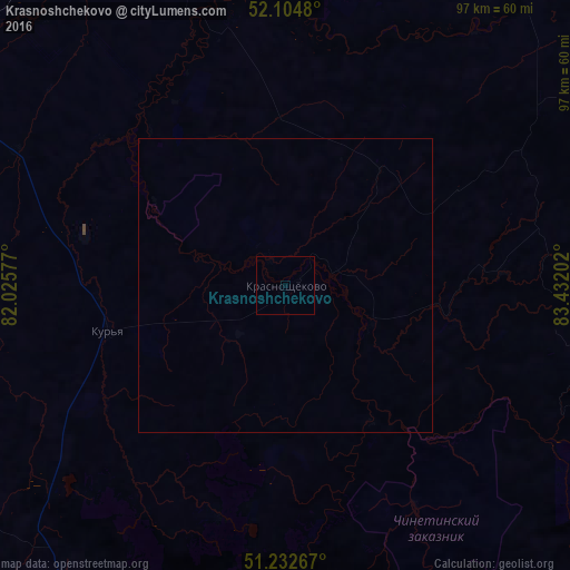
Night Light of Krasnoshchekovo (Altai Krai) from space (Russia) Src. Average luminocity for 10x10km area is 0% and for 50x50km: 0%.
Analysis of Krasnoshchekovo night lights 2016
Square area 10x10 km:
 0%
0%90-99
0%80-89
0%70-79
0%60-69
0%50-59
0%40-49
0%30-39
0%20-29
0%10-19
0%0-9
100%Square area 50x50 km:
0%90-99
0%80-89
0%70-79
0%60-69
0%50-59
0%40-49
0%30-39
0%20-29
0%10-19
0%0-9
100%Clear (daylight) street map image can be seen on geolist.org.
Map coordinates:
52° 6' 17.3" North, 82° 1' 32.8" East
51° 40' 15" North, 82° 43' 44" East
51° 13' 57.6" North, 83° 25' 55.3" East
Some cities around Krasnoshchekovo sort by population:
• Rubtsovsk
106.6 km =66.2 mi,  260°
260°
• Aleysk
91.4 km =56.8 mi,  2°
2°
• Pospelikha
73.1 km =45.4 mi,  295°
295°
• Zmeinogorsk
68 km =42.3 mi,  212°
212°
• Shipunovo
68.5 km =42.6 mi,  332°
332°
• Ust’-Kalmanka
63.8 km =39.6 mi,  38°
38°
• Ust’-Charyshskaya Pristan’
102.7 km =63.8 mi, 38°
• Staroaleyskoye
89.6 km =55.7 mi, 214°
1502066 (p: 5,463)
Sources (retrieved 2019-11-25):
» Earth at Night: Flat Maps 2012, 2016