Shipunovo night lights from space
Night Light of Shipunovo (Altai Krai) from space (Russia) Src. Average luminocity for 10x10km area is 0.0265% and for 50x50km: 0.0839%.
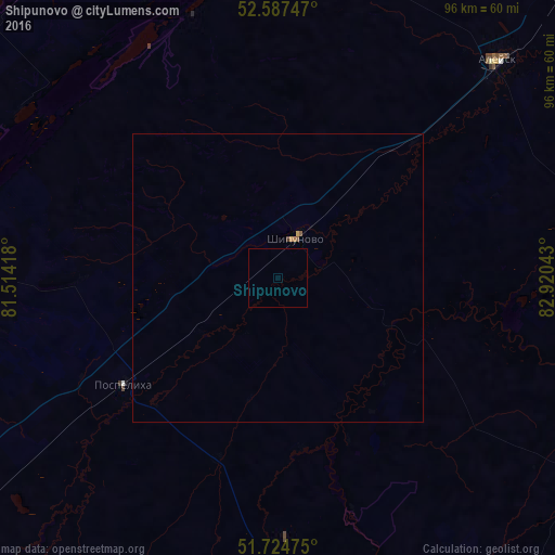
Analysis of Shipunovo night lights 2016
Square area 10x10 km:
 0%
0%90-99
0%80-89
0%70-79
0%60-69
0%50-59
0%40-49
0%30-39
0%20-29
0%10-19
0%0-9
100%Square area 50x50 km:
0%90-99
0%80-89
0%70-79
0.04%60-69
0.02%50-59
0.04%40-49
0.01%30-39
0.02%20-29
0%10-19
0%0-9
99.87%Clear (daylight) street map image can be seen on geolist.org.
Map coordinates:
52° 35' 14.9" North, 81° 30' 51" East
52° 13' 2.3" North, 82° 16' 2.9" East
51° 43' 29.1" North, 82° 55' 13.5" East
Some cities around Shipunovo sort by population:
• Aleysk
46.5 km =28.9 mi,  48°
48°
• Pospelikha
45.3 km =28.1 mi,  229°
229°
• Topchikha
88.3 km =54.9 mi,  40°
40°
• Mamontovo
69.6 km =43.2 mi,  321°
321°
• Ust’-Kalmanka
71.6 km =44.5 mi,  98°
98°
• Romanovo
83.5 km =51.9 mi,  302°
302°
• Krasnoshchekovo
68.5 km =42.6 mi,  152°
152°
• Pervomayskiy
87.9 km =54.6 mi,  332°
332°
1492160 (p: 11,431)
Sources (retrieved 2019-11-25):
» Earth at Night: Flat Maps 2012, 2016