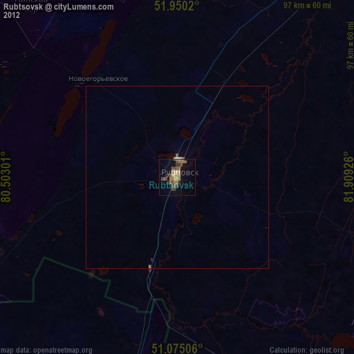
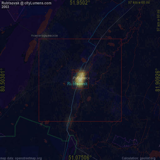
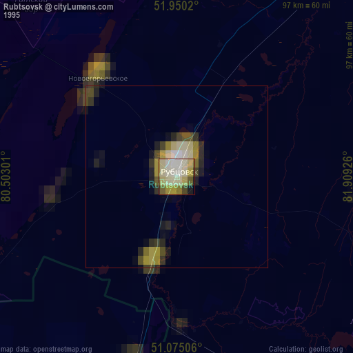
Rubtsovsk night lights from space
Night Light of Rubtsovsk (Altai Krai) from space (Russia) Src. Average luminocity for 10x10km area is 19.0869% and for 50x50km: 0.9187%.
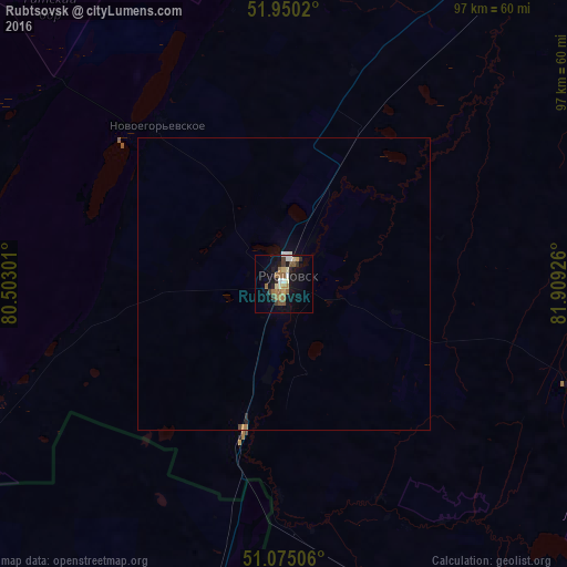
Analysis of Rubtsovsk night lights 2016
Square area 10x10 km:
 1.87%
1.87%90-99
2.54%80-89
2.41%70-79
1.07%60-69
5.21%50-59
3.74%40-49
1.6%30-39
2.67%20-29
1.6%10-19
16.98%0-9
60.29%Square area 50x50 km:
0.09%90-99
0.12%80-89
0.1%70-79
0.06%60-69
0.23%50-59
0.15%40-49
0.09%30-39
0.11%20-29
0.11%10-19
0.72%0-9
98.23%Clear (daylight) street map image can be seen on geolist.org.
Map coordinates:
51° 57' 0.7" North, 80° 30' 10.8" East
51° 30' 53" North, 81° 12' 22.1" East
51° 4' 30.2" North, 81° 54' 33.3" East
Some cities around Rubtsovsk sort by population:
• Gornyak
60.6 km =37.7 mi,  162°
162°
• Pospelikha
61.9 km =38.5 mi,  38°
38°
• Zmeinogorsk
79.4 km =49.3 mi,  120°
120°
• Volchikha
80.6 km =50.1 mi,  313°
313°
• Zhezkent, KZ
65.8 km =40.9 mi,  170°
170°
• Borodulikha, KZ
90.6 km =56.3 mi,  192°
192°
• Veseloyarsk
26.2 km =16.3 mi,  195°
195°
• Staroaleyskoye
79.1 km =49.2 mi,  135°
135°
1493467 (p: 161,065)
Sources (retrieved 2019-11-25):
» NASA, Earths city lights 1995
» NASA city lights 2003
» Earth at Night: Flat Maps 2012, 2016