Aleysk night lights from space
Night Light of Aleysk (Altai Krai) from space (Russia) Src. Average luminocity for 10x10km area is 5.2989% and for 50x50km: 0.2138%.
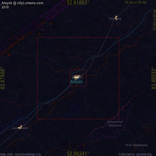
Analysis of Aleysk night lights 2016
Square area 10x10 km:
 0.13%
0.13%90-99
0.53%80-89
0.93%70-79
0.53%60-69
0.66%50-59
1.98%40-49
1.72%30-39
0.93%20-29
0%10-19
0%0-9
92.59%Square area 50x50 km:
0.01%90-99
0.02%80-89
0.04%70-79
0.02%60-69
0.03%50-59
0.08%40-49
0.07%30-39
0.04%20-29
0%10-19
0%0-9
99.71%Clear (daylight) street map image can be seen on geolist.org.
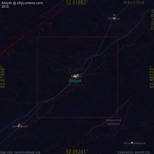
Map coordinates:
52° 55' 7.1" North, 82° 4' 44.7" East
52° 29' 33.4" North, 82° 46' 55.9" East
52° 3' 44.7" North, 83° 29' 7.2" East
Some cities around Aleysk sort by population:
• Shipunovo
46.5 km =28.9 mi,  228°
228°
• Topchikha
42.8 km =26.6 mi,  31°
31°
• Mamontovo
81.7 km =50.8 mi,  286°
286°
• Rebrikha
71.1 km =44.2 mi,  335°
335°
• Ust’-Kalmanka
54.5 km =33.9 mi,  139°
139°
• Nagornyy
61.8 km =38.4 mi,  56°
56°
• Ust’-Charyshskaya Pristan’
60.7 km =37.7 mi,  100°
100°
• Pervomayskiy
89 km =55.3 mi,  302°
302°
1511783 (p: 28,019)
Sources (retrieved 2019-11-25):
» Earth at Night: Flat Maps 2012, 2016